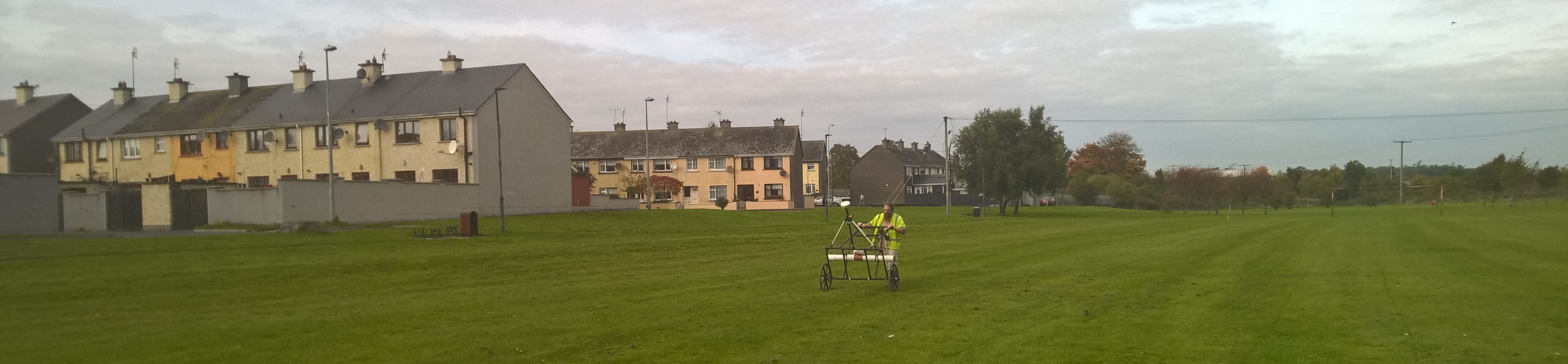
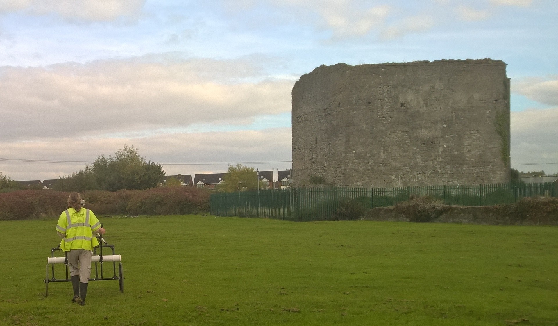
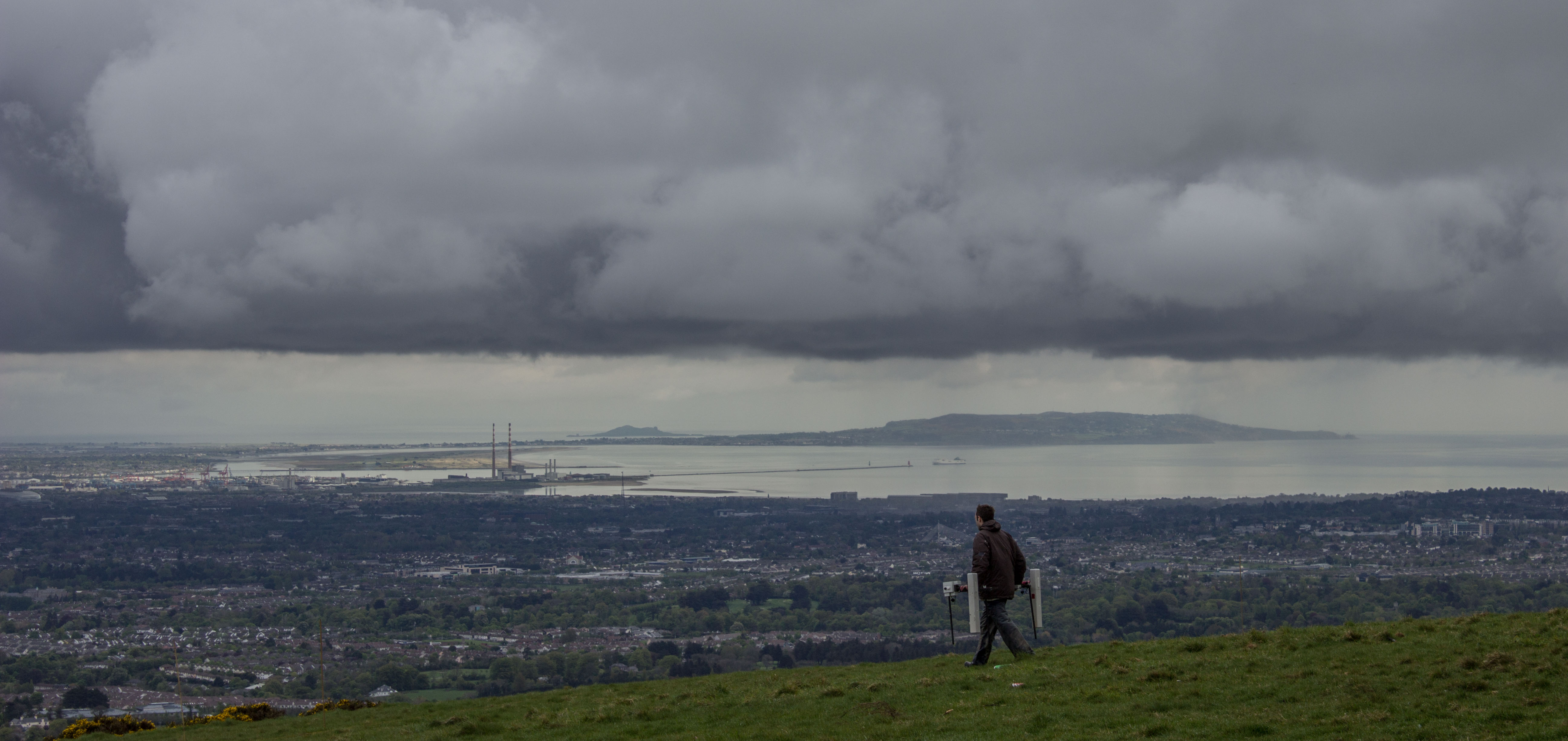
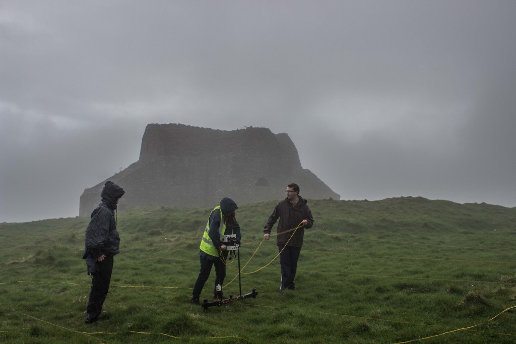
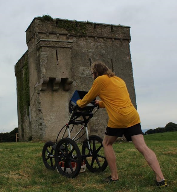
The use of archaeological geophysics on national road schemes between 2001 and 2010 has been comprehensively reviewed as part of a National Roads Authority (NRA, now known as TII – Transport Infrastructure Ireland) archaeological research project funded through the NRA Fellowship Programme. The study, which was awarded funding in 2010, was carried out by James Bonsall, Dr Chris Gaffney and Professor Ian Armit from the University of Bradford in the UK. Earthsound Archaeological Geophysics acted as the university’s industrial partner in the research.
The research delivered a set of guidelines entitled Preparing for the Future: a re-appraisal of archaeo-geophysical surveying on Irish National Road Schemes 2001-2010, which has been used by the NRA/TII to commission new geophysical surveys based on lessons learnt from the study. The document has recently been published online by the NRA/TII and other outlets.
The guidance document includes:
- a review of previous geophysical surveys on NRA road schemes,
- typical geophysical responses to a range of archaeological features, soils and geologies
- a discussion of the limitations of various methods
- advice on how to carry out surveys in ‘challenging’ conditions, landscapes and geologies
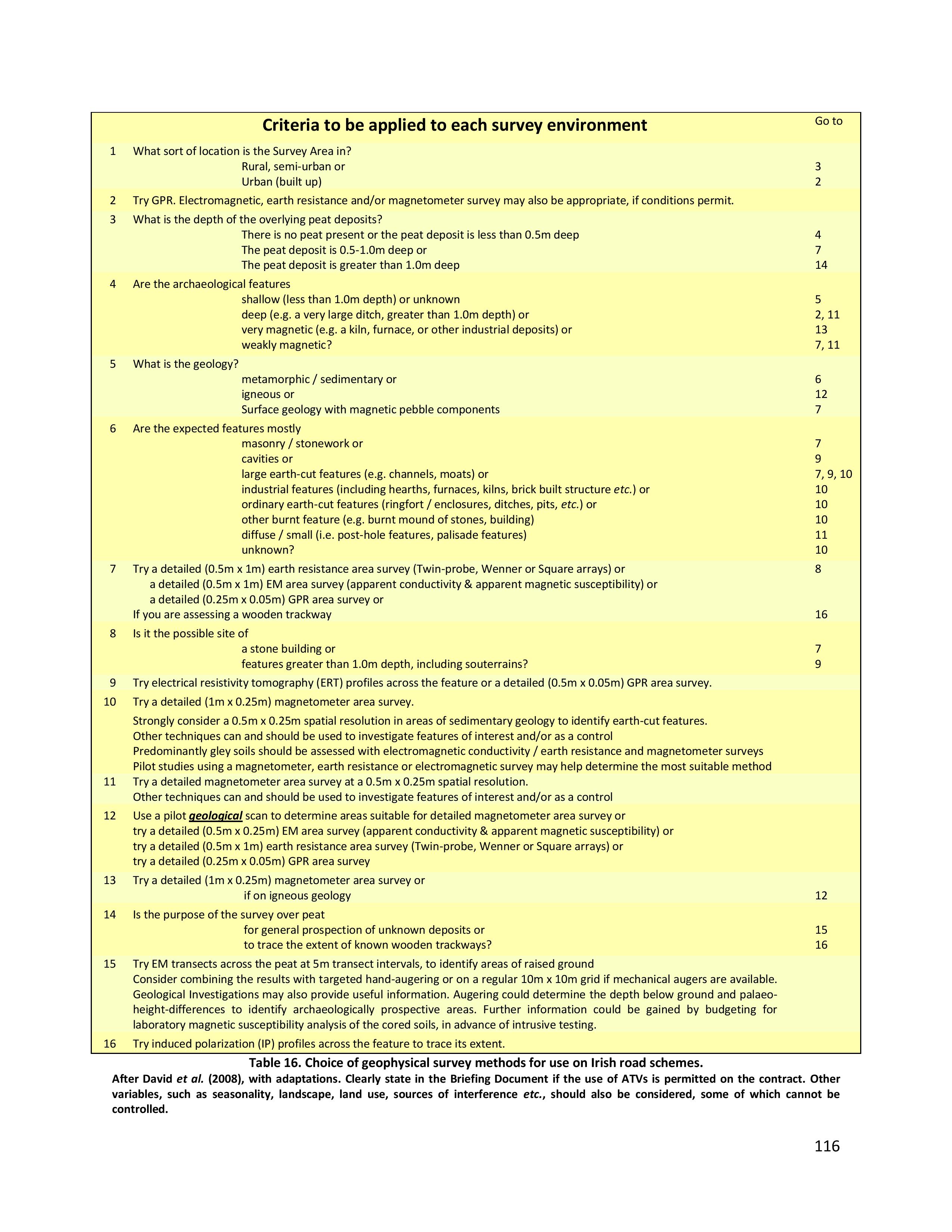
- a Specification Key that assists non-geophysicists to determine the most appropriate geophysical technique(s) for a given study area or receiving environment.
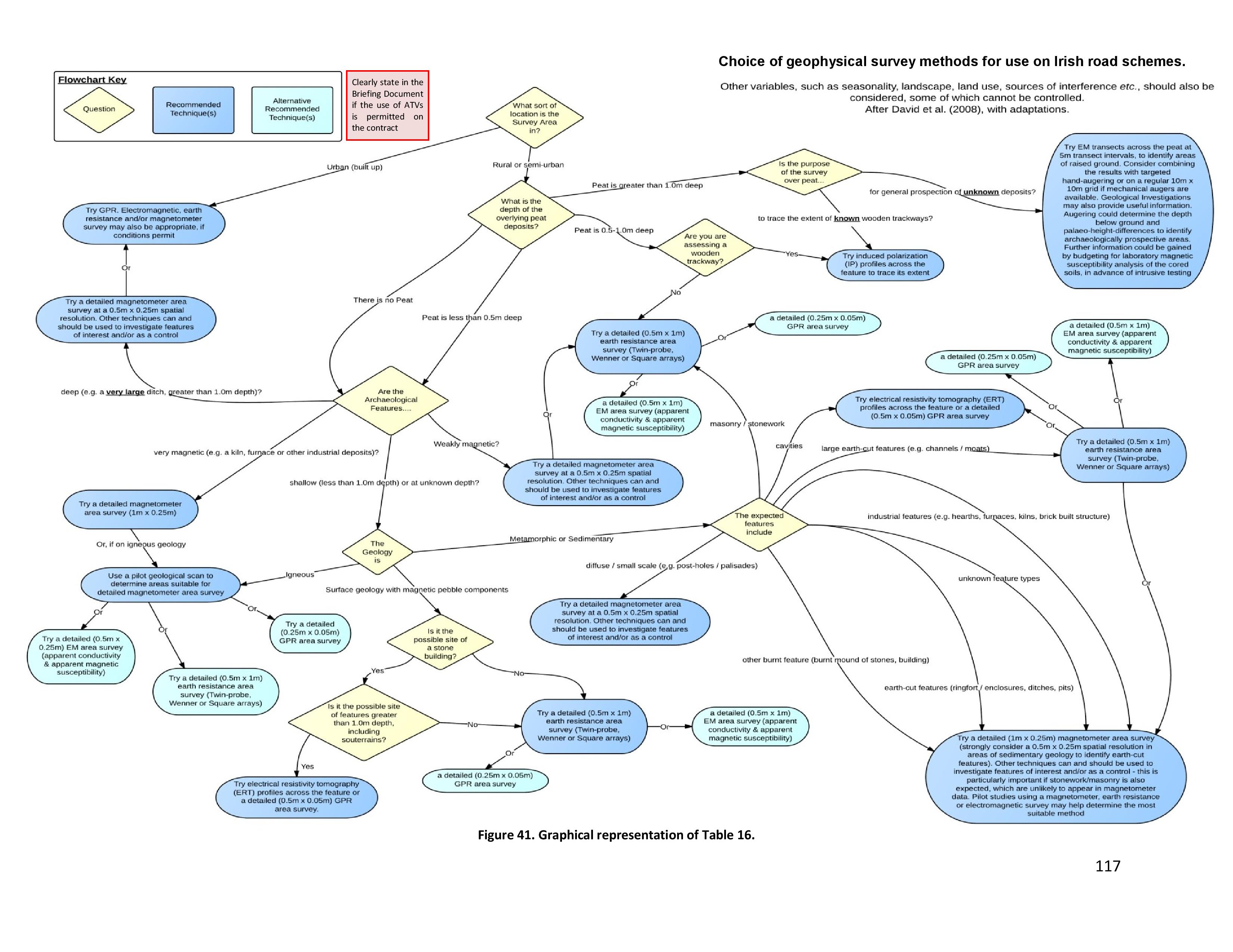
Choice of geophysical survey methods for use on Irish road schemes. (Bonsall, J, Gaffney, C & Armit, I 2014. Preparing for the Future: a re-appraisal of archaeo-geophysical surveying on Irish National Road Schemes 2001-2010. Report by the Division of Archaeological, Geographical and Environmental Sciences, University of Bradford.)
Choice of geophysical survey methods for use on Irish road schemes. (Bonsall, J, Gaffney, C & Armit, I 2014. Preparing for the Future: a re-appraisal of archaeo-geophysical surveying on Irish National Road Schemes 2001-2010. Report by the Division of Archaeological, Geographical and Environmental Sciences, University of Bradford.)

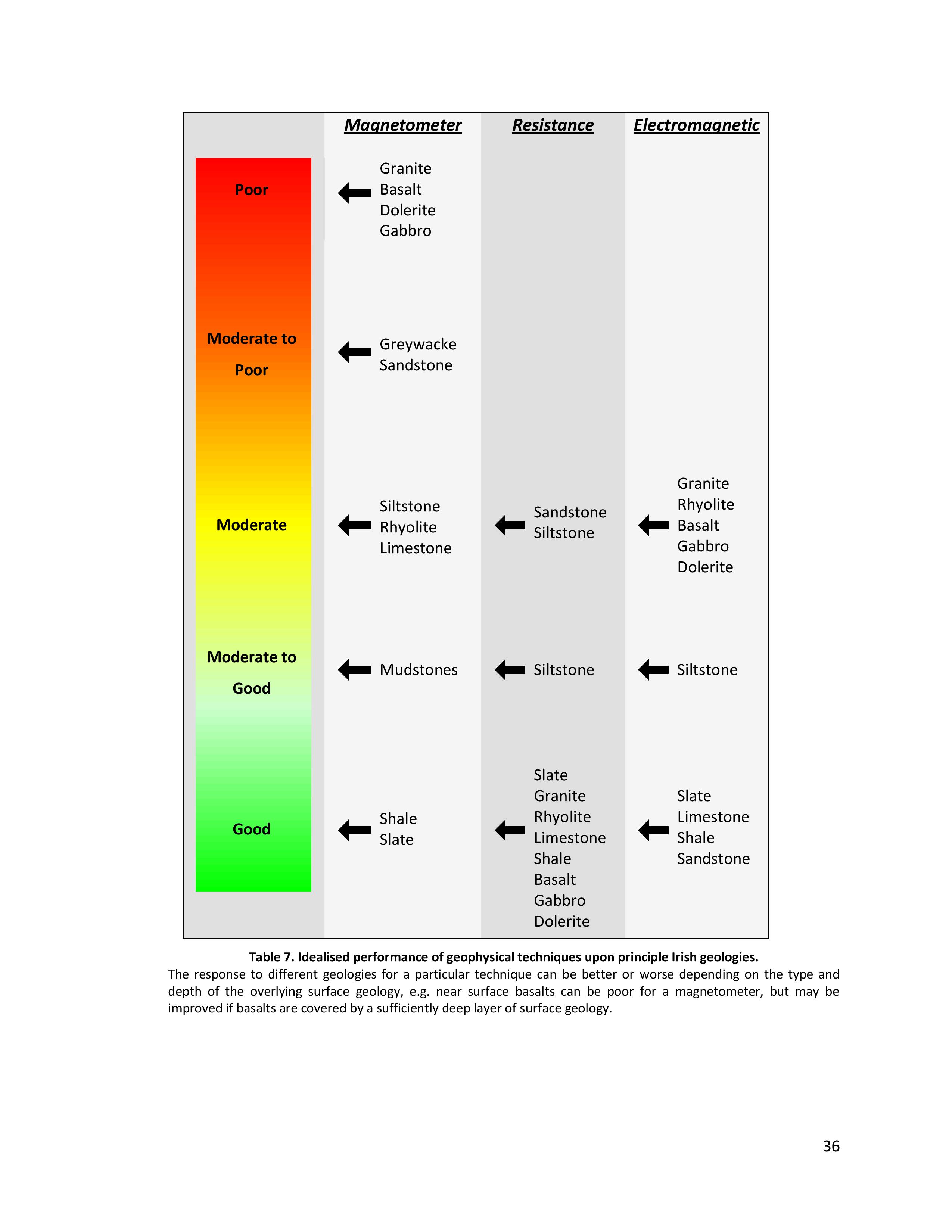
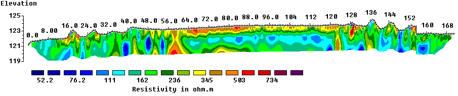
Idealised performance of geophysical techniques upon principle Irish geologies. (Bonsall, J, Gaffney, C & Armit, I 2014. Preparing for the Future: a re-appraisal of archaeo-geophysical surveying on Irish National Road Schemes 2001-2010. Report by the Division of Archaeological, Geographical and Environmental Sciences, University of Bradford.)
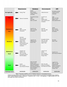
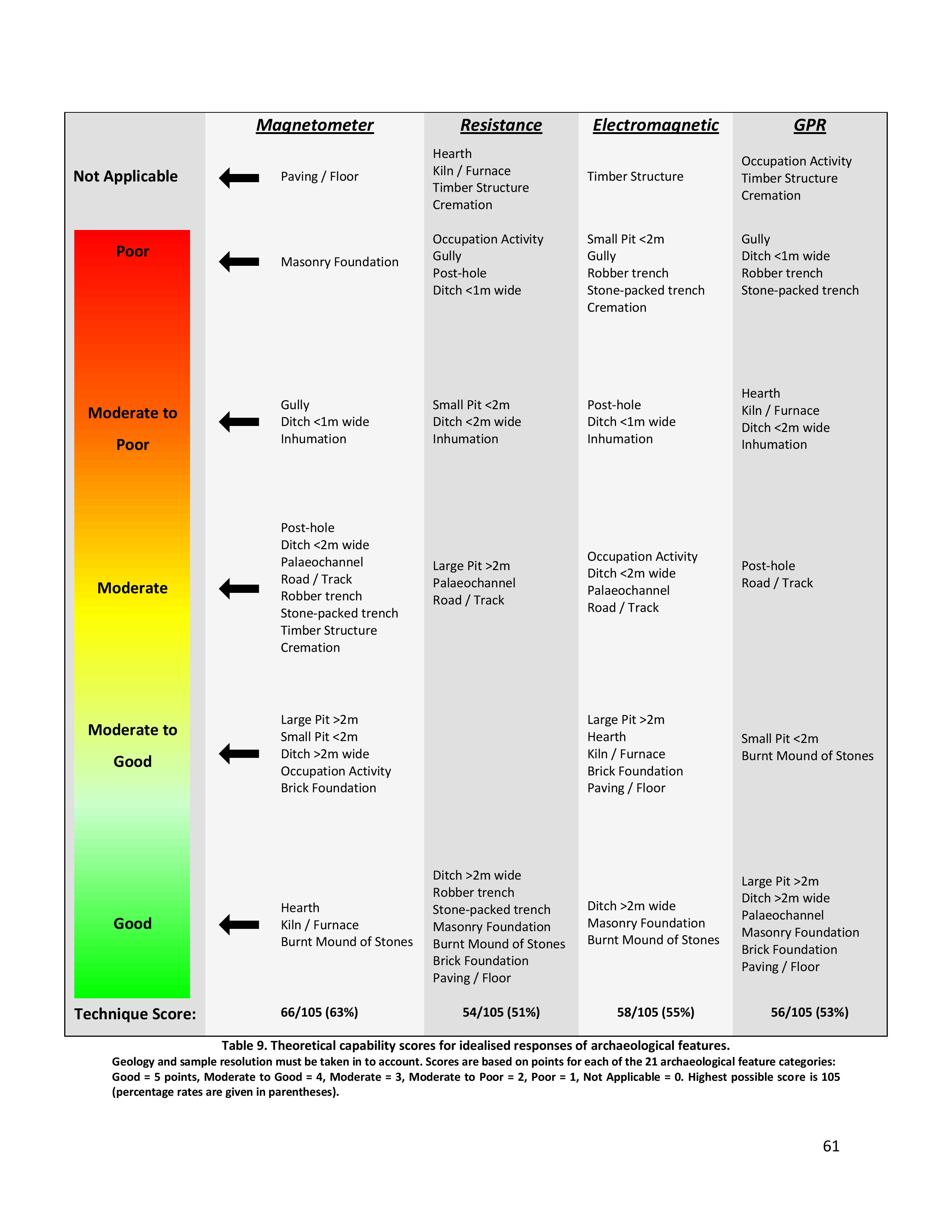
Theoretical capability scores for idealised responses of archaeological features. (Bonsall, J, Gaffney, C & Armit, I 2014. Preparing for the Future: a re-appraisal of archaeo-geophysical surveying on Irish National Road Schemes 2001-2010. Report by the Division of Archaeological, Geographical and Environmental Sciences, University of Bradford.)
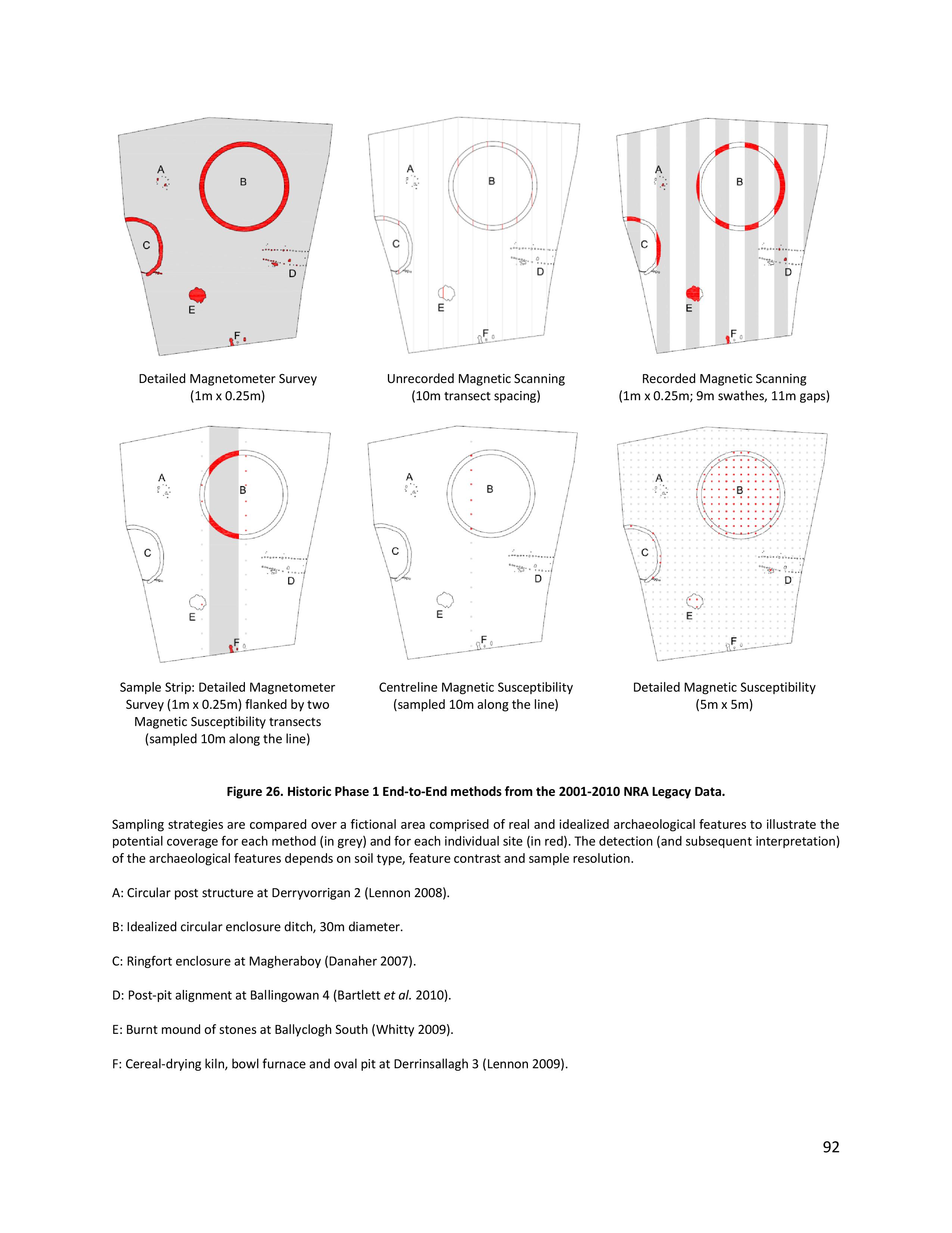
Historic methods of prospection from the 2001-2010 NRA Legacy Data. (Bonsall, J, Gaffney, C & Armit, I 2014. Preparing for the Future: a re-appraisal of archaeo-geophysical surveying on Irish National Road Schemes 2001-2010. Report by the Division of Archaeological, Geographical and Environmental Sciences, University of Bradford.)
Executive Summary of the Guidance Document
(Bonsall et al. 2014: 1)
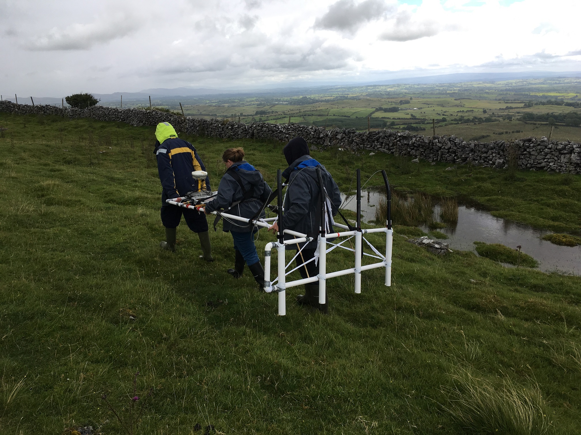
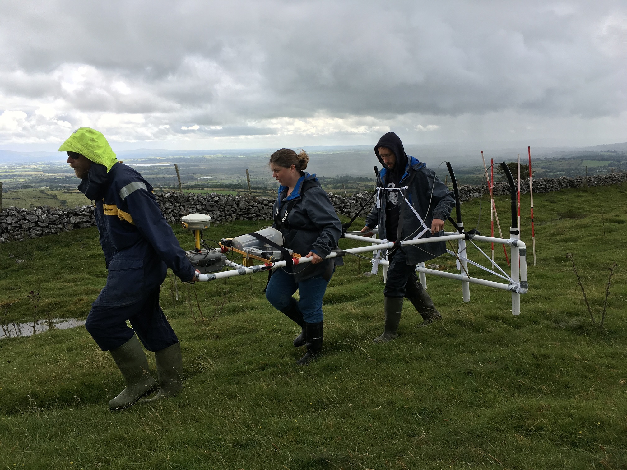
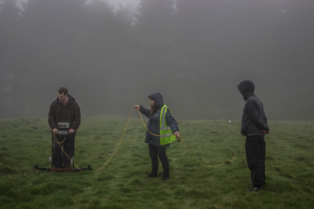
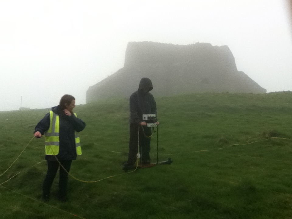
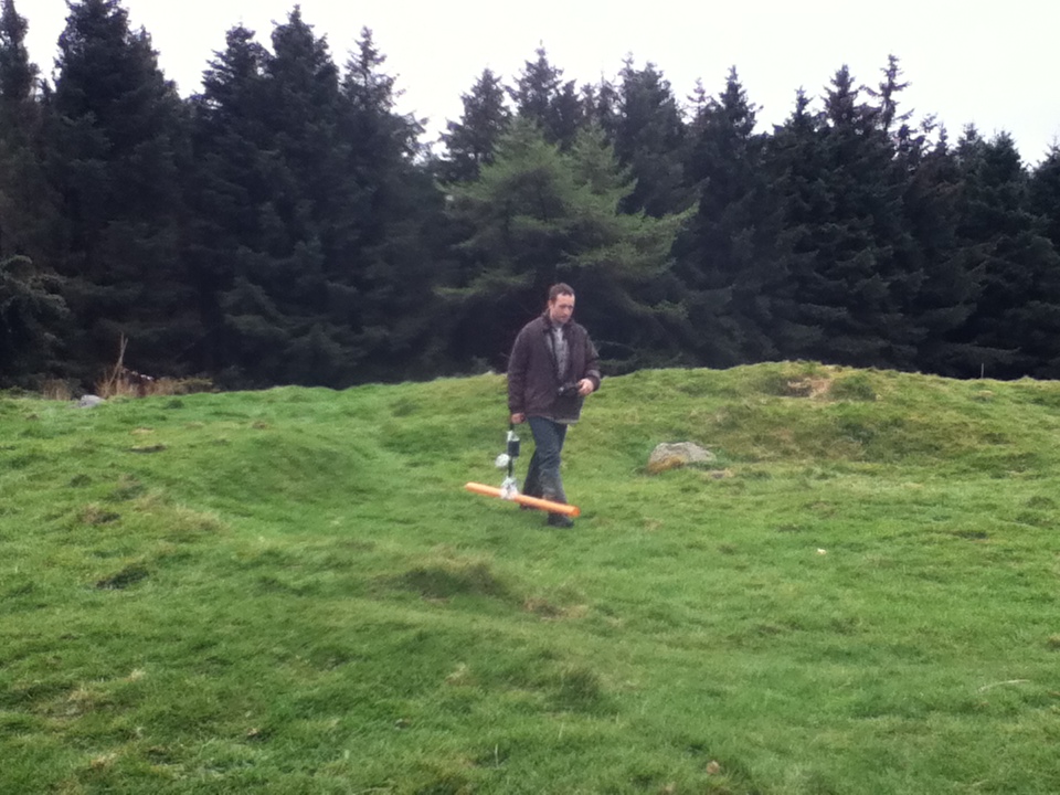
This [guidance] document reviews Legacy Data generated from 10 years’ worth of road scheme activity in Ireland to determine how archaeological geophysical surveys could be carried out on national roads in the future. The geophysical surveys were carried out by several different contractors across a range of challenging field conditions, geologies, weather and seasons. The research is based upon the results of linear schemes but also has validity for wider approaches. The findings of this research are based upon the compilation of all terrestrial archaeological geophysical surveys carried out on behalf of the National Roads Authority (NRA), a review of the success or otherwise of those surveys in comparison with ground-observed excavations and in combination with experimental surveys that tested previously held assumptions or knowledge to determine best practice methods for the future.
The use and success of geophysical surveys in Ireland differ quite significantly from those in the UK, from where many of the methods of assessment were derived or adapted. Many of these differences can be attributed to geology. Ireland has a very high percentage of Carboniferous limestone geology, overlain mostly by tills and frequent occurrences of peat. These soils can reduce, to some extent, the effectiveness of magnetometer surveys; the most frequently used geophysical technique in Ireland. However, magnetometer data can be maximised in these cases by increasing the spatial resolution to produce effective results. An increase in spatial resolution is also effective generally, for enhancing the chances of identifying archaeological features by discriminating between archaeological and geological anomalies as well as increasing anomaly definition and visualisation of small and subtle archaeological features.
Outputs of the Research
Other outputs of the NRA Fellowship research have included:
- A PhD for James Bonsall, which was awarded in 2014.
- James was selected as a finalist to present his research at the prestigious Transport Research Arena 2012 conference and was awarded the silver medal in the Environmental Pillar for his presentation.
- A preliminary review of progress in Issue 6 of Seanda NRA Archaeology Magazine (published in December 2011) and a paper at the 2012 NRA National Archaeology Seminar. This paper, co-authored by James Bonsall, Dr Chris Gaffney and Professor Ian Armit, was published in the subsequent seminar proceedings in autumn 2013.
- An online database from which NRA-commissioned geophysical reports. The NRA Archaeological Geophysical Survey Database was launched in April 2013 and an article about this important online resource was published in Issue 8 of Seanda.
Related publications
Bonsall, J 2011 ‘Ten years of archaeogeophysics’, Seanda, No. 6, 38–9.
Bonsall, J, Gaffney, C & Armit, I 2013 ‘Back and forth: paving the way forward by assessing 10 years of geophysical surveys on Irish road schemes’, in B Kelly, N Roycroft & M Stanley (eds), Futures and Pasts: archaeological science on Irish road schemes, 1–13. Archaeology and the National Roads Authority Monograph Series No. 10. National Roads Authority, Dublin.
Bonsall, J, Gaffney, C & Armit, I 2014 Preparing for the Future: a re-appraisal of archaeo-geophysical surveying on Irish National Road Schemes 2001-2010. Report by the Division of Archaeological, Geographical and Environmental Sciences, University of Bradford.
Bonsall, J, Sparrow, T, Gaffney, C, Armit, I & Swan, R 2013 ‘Underground, overground’, Seanda, No. 8, 14–15.