
Ground Penetrating Radar is capable of detecting multiple buried layers at depth by passing an electromagnetic pulse into the ground, which reflects off underlying buried layers. The location and depth of each reflection creates profiles and slices (similar to archaeological sections or plans) of the underlying archaeology. Ground Penetrating Radar can be used in rural environments as well as urban areas covered by tarmac or concrete and is particularly suited for mapping souterrains, walls, voids/cavities and structural features.
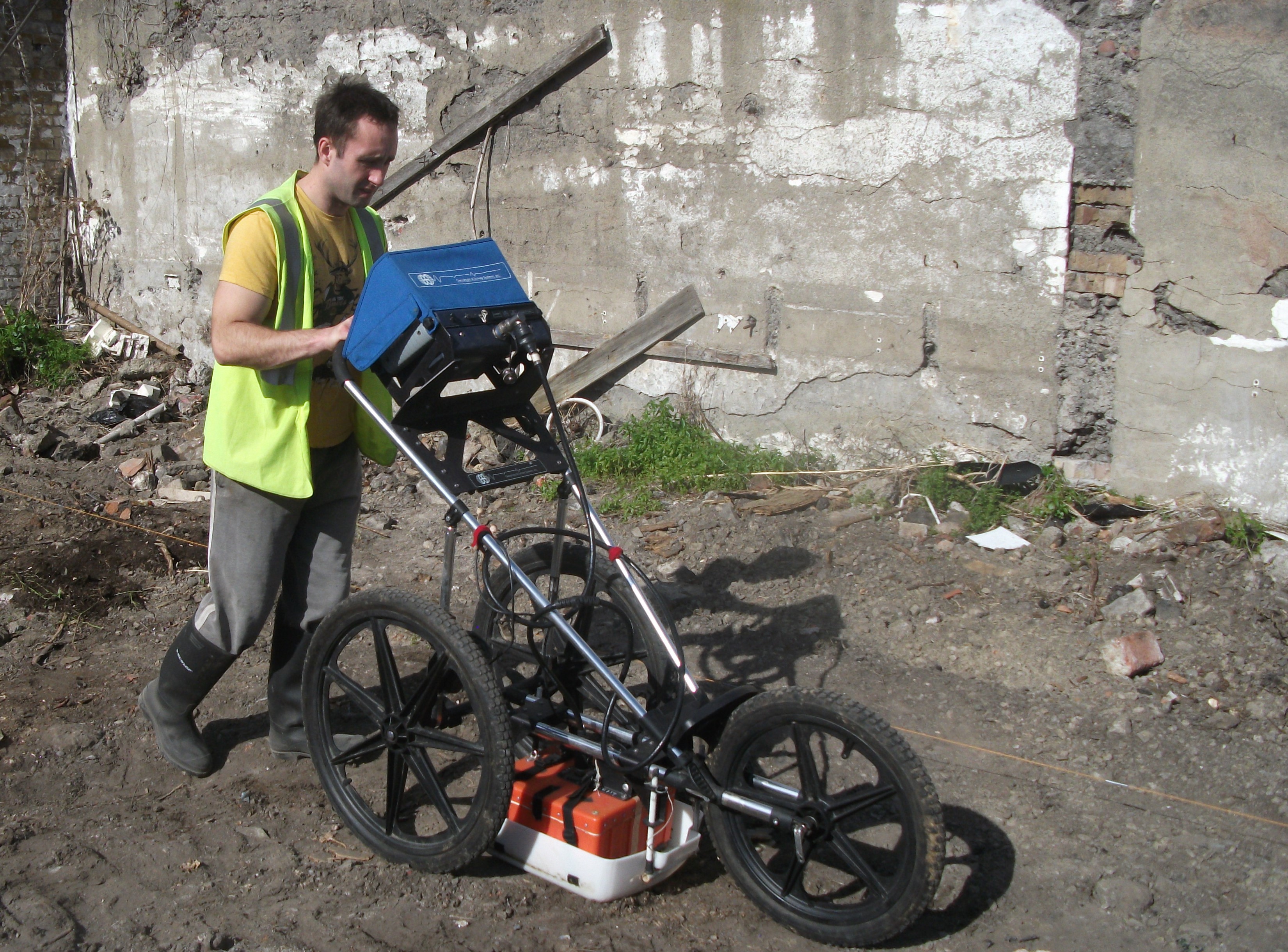
Cart-mounted GPR survey
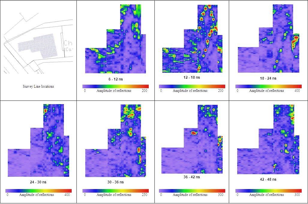
Example of processed radar data slices showing anomalies at different depths.
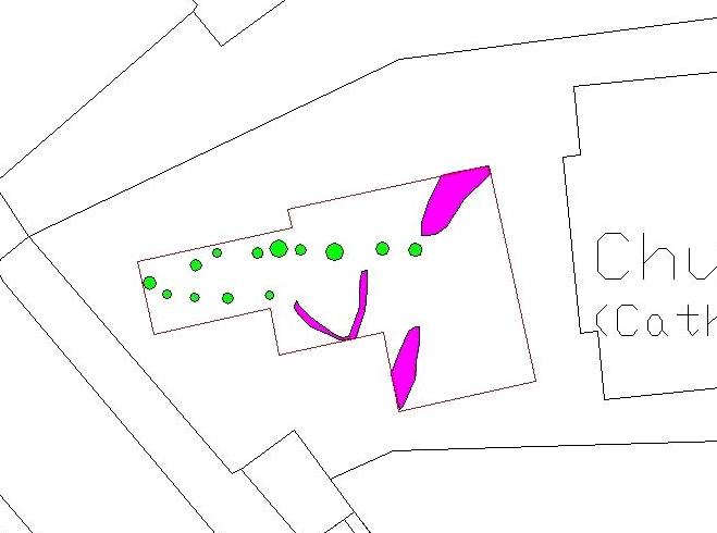
Interpretation drawing of anomalies detected within the radar survey.
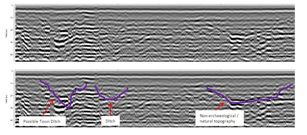
Example of a radar amplitude slice and interpretation.
© 2002- 2026 Earthsound Geophysics Ltd.