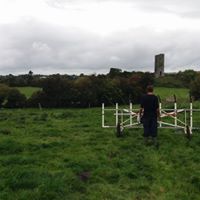
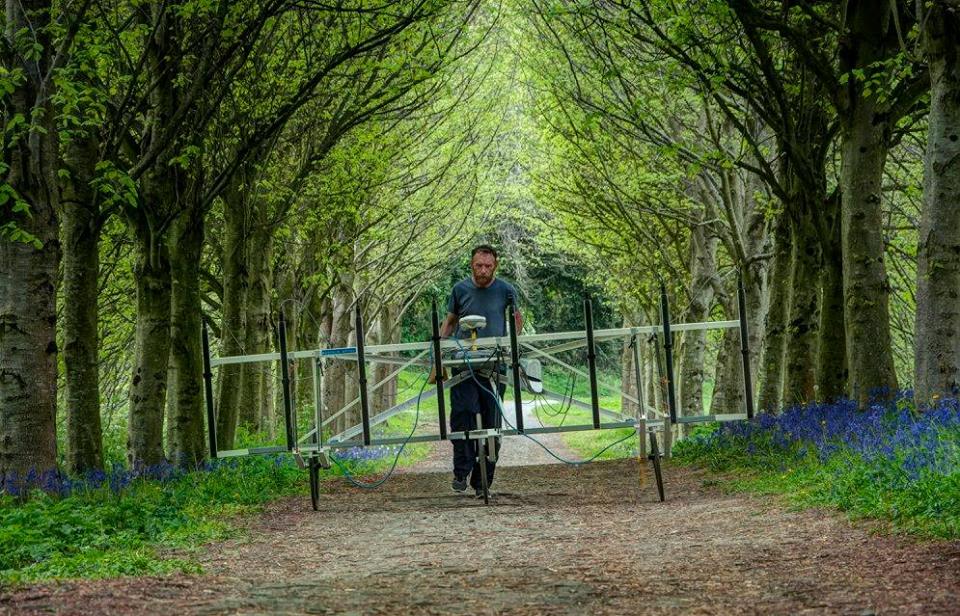
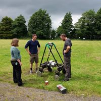
![]() In the last few months we have been busy working on research projects which included surveying four different sites in County Donegal and one site each in Fermanagh, Derry and Tipperary.
In the last few months we have been busy working on research projects which included surveying four different sites in County Donegal and one site each in Fermanagh, Derry and Tipperary.
Surveys in South Donegal
Three sites have been investigated as part of ongoing research by the Drumhome Heritage Society and funded by the Donegal Local Development Company. The sites include Drumhome ecclesiastical site, McGonigle’s Fort and Ballymagroarty Irish Castle. They are located a short distance south of Donegal town and north of Ballyshannon.
Drumhome
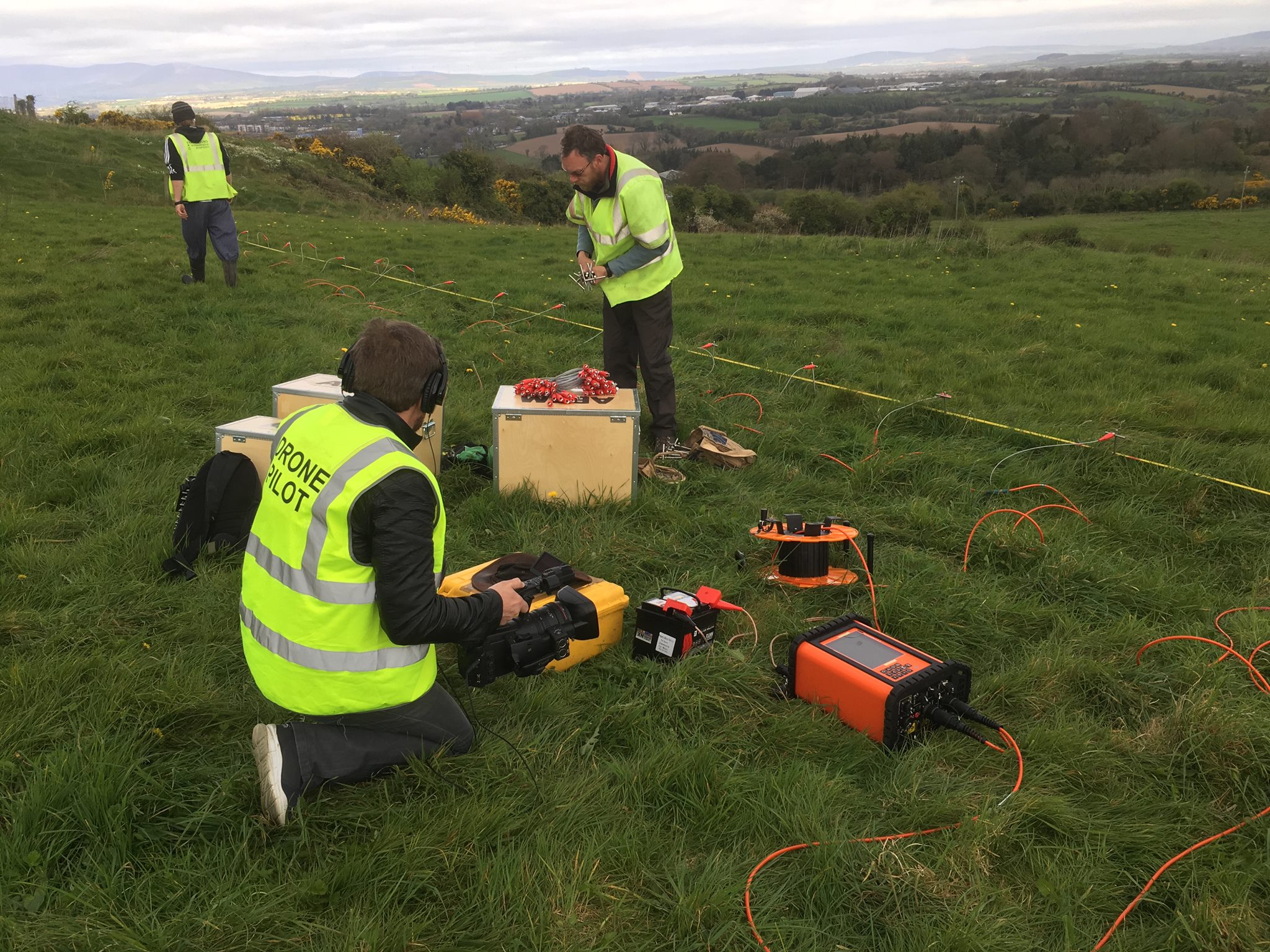
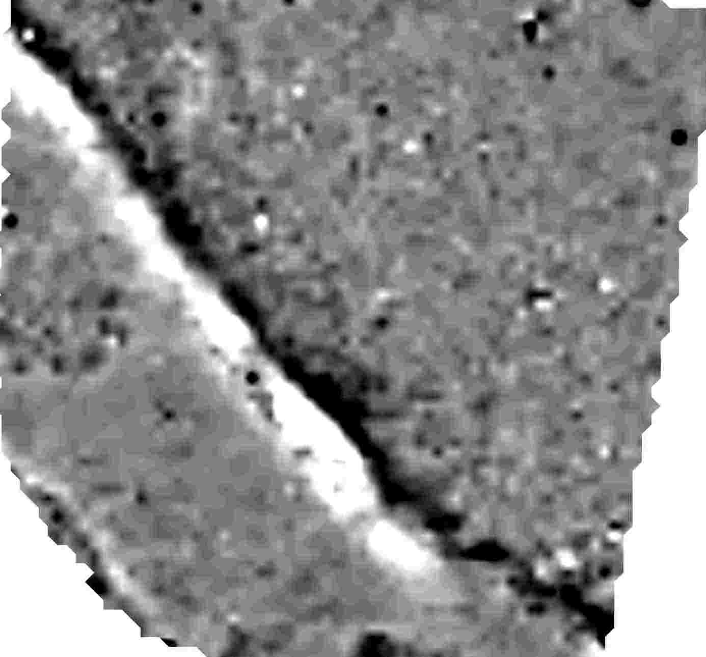
Of all the sites Drumhome has undergone the most extensive geophysical surveys. The site comprises a number of pasture fields surrounding Drumhome Old Church and graveyard. A previous Earth Resistance survey in 2013 has identified an oval enclosure extending from the upstanding cemetery wall into the field to the south. The enclosure and a number of internal and external structures were thought to be relating to the ecclesiastical settlement at Drumhome. Subsequent archaeological testing was undertaken by archaeologist Mick Drumm of Wolfhound Archaeology. While this was not a full excavation, numerous significant archaeological features were identified including ditches, pits, stone structures and a number of possible toghers. These features were found outside of the enclosure identified in the geophysical data and the possible toghers were found in the boggy southern half of the field.


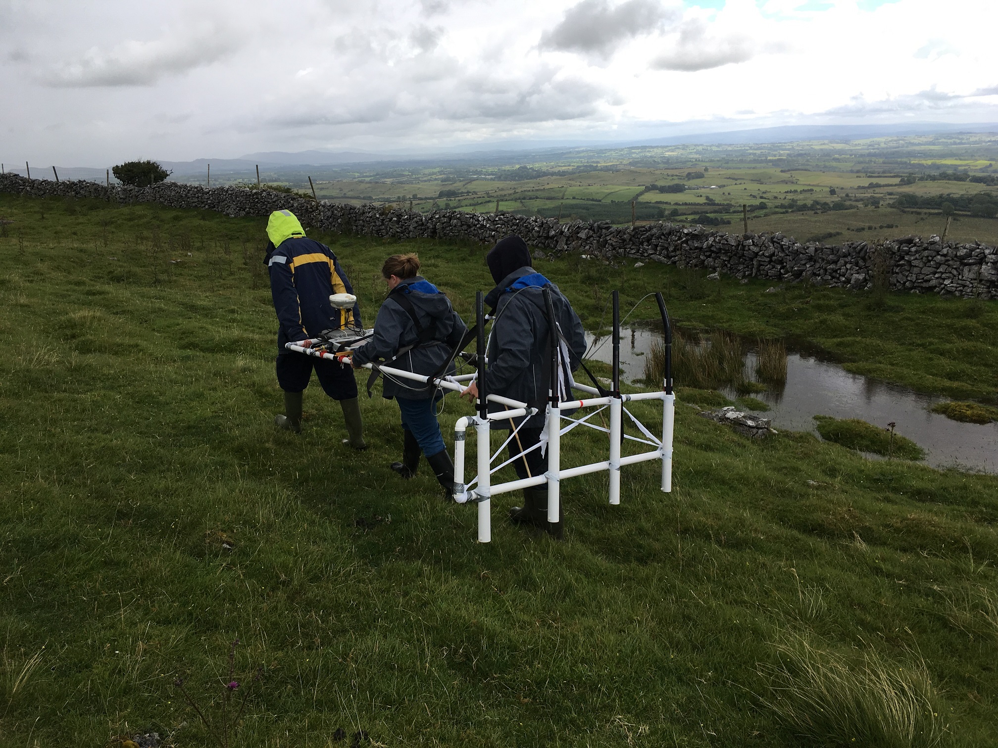
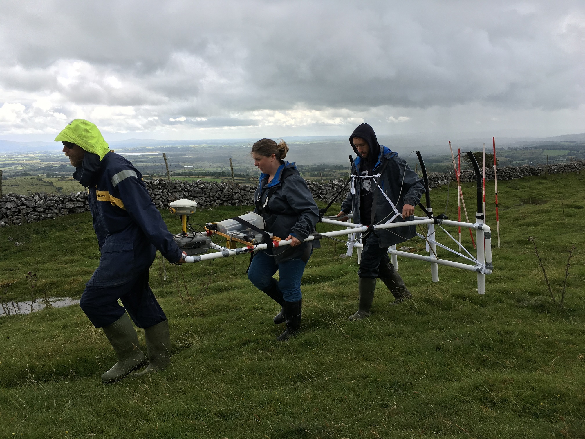
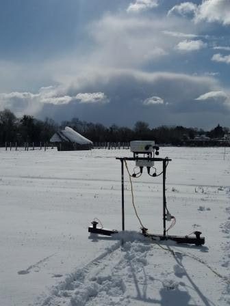
The site was investigated using a range of geophysical equipment to gain further insight into the extent of the archaeology associated with the ecclesiastical settlement.
Thanks to the local landowners the fields to the south of the graveyard were cleared of vegetation and we were able to carry out high resolution earth resistance and ground penetrating radar (GPR) surveys. The results show the presence of a palimpsest of archaeolgical features.


Due to the presence of togher material in the 2013 test excavation we carried out a number of induced polarisation (IP) surveys across the boggy southern portion of the field and into the field to the west.
")

")


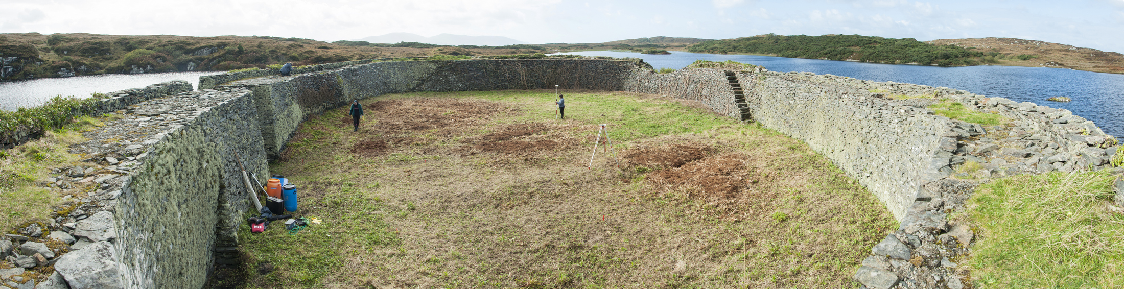
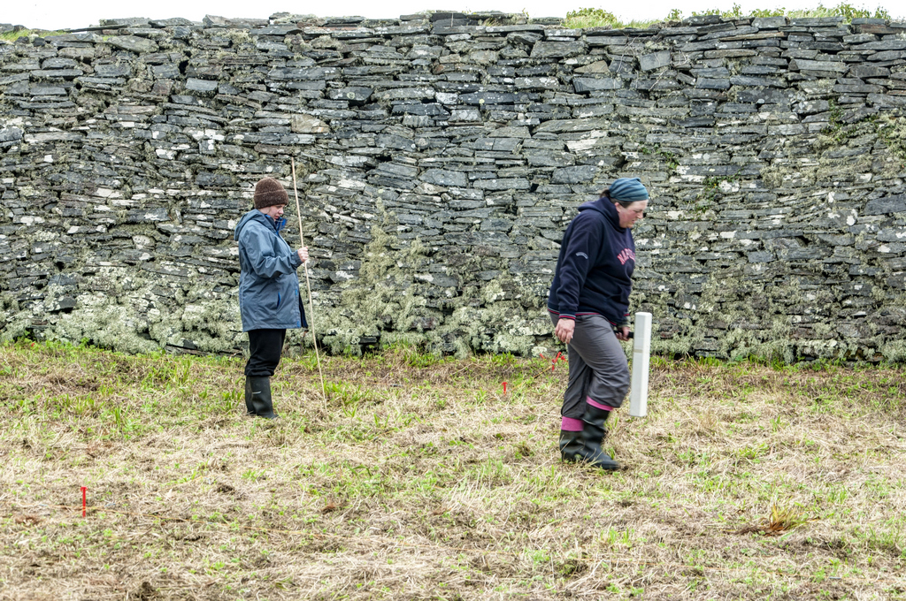
McGonigle’s Fort
This site was also investigated for Drumhome Heritage Society An extensive archaeological landscape was revealed through the use of multiple high resolution geophysical techniques both within the fort and on the landscape surrounding the monument. The work undertaken for this project has added to our knowledge of the composition and makeup of the site and how McGonigle’s Fort represents an extensive monument which is still present in our landscape today.
")


")
")
")
Ballymagroarty Irish Castle
The site of Ballymagroarty Irish Castle was the last of our projects for the Drumhome Heritage Society, completed this January. Very little was known about this site as no visible traces are left above ground. Allthough the site is listed as a castle in the Record of Monuments and Places (RMP), documentary sources suggest that an ecclesiastical settlement once existed within the townland of Ballymagroarty. A historical account (from Dr. Maguire’s “History of the Diocese of Raphoe” Appendix F. Vol. II. pp. 349-350) describes how a secret entrance to a crypt in which the Cathach of St. Columba was kept was discovered by a man ploughing the field. He discovered a winding staircase leading down but due to superstition did not descend into the crypt.

")
")
While we did not find evidence of a crypt, our initial magnetometer surveys have identified the possible location of a building which may be related to the castle. We are hoping to return to the site at a future date to carry out more detailed surveys and also explore the surrounding fields where some possible features can be seen in satellite images.
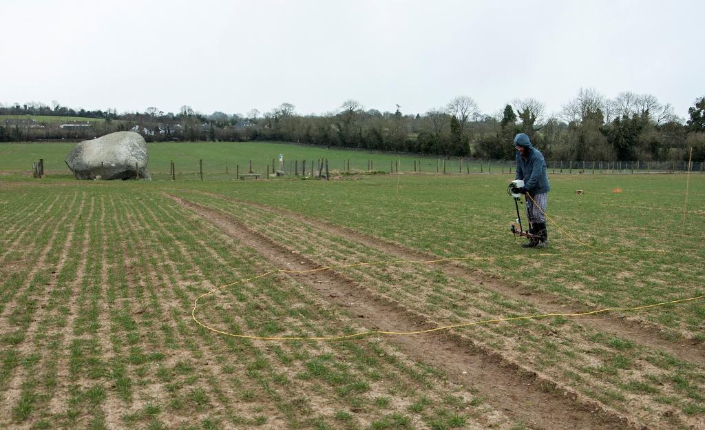
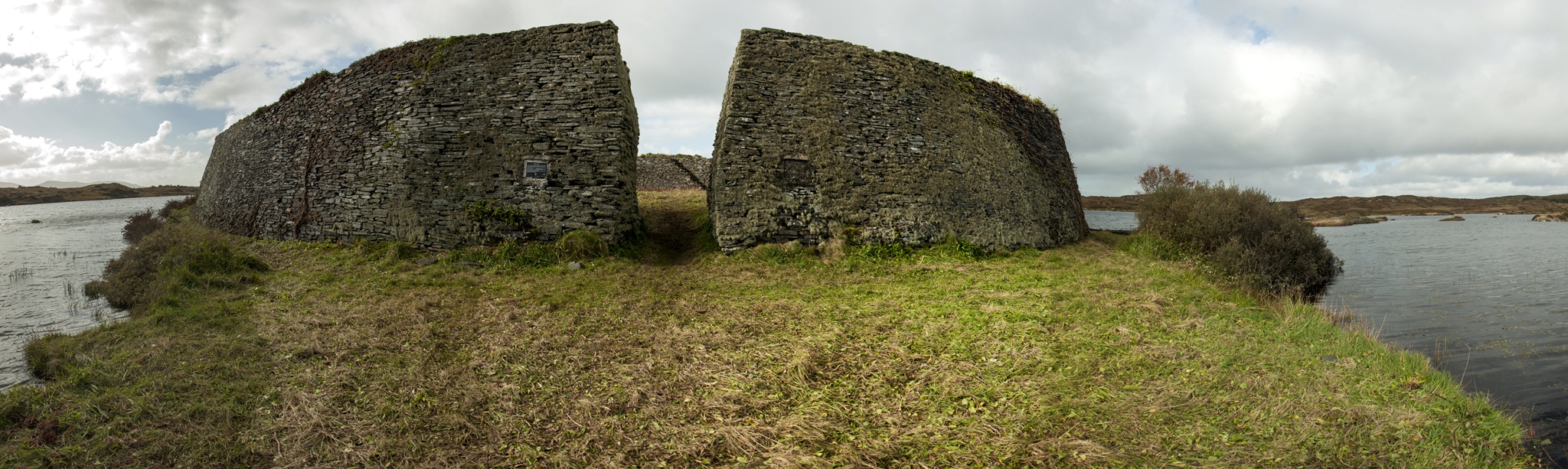
Kilbarron Castle
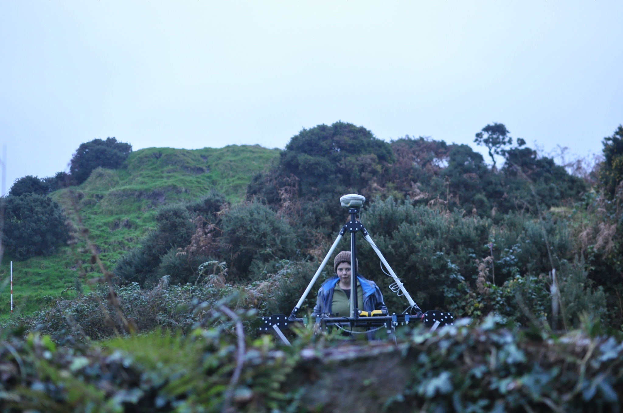
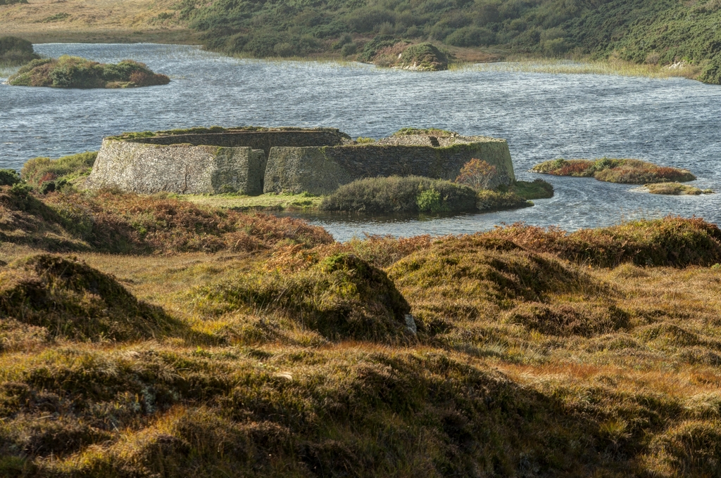
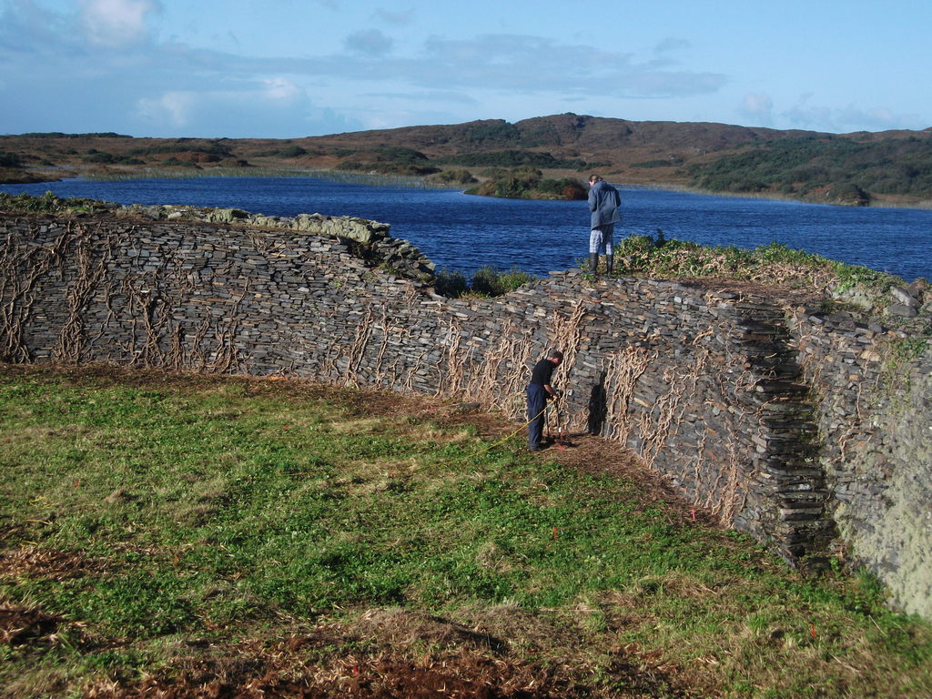
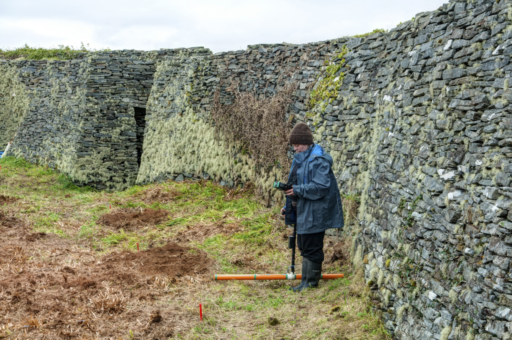
 Kilbarron Castle sits on a promontory extending off the south Donegal coast into the Atlantic. The Kilbarron Castle Conservation Group has asked us to carry out a number of surveys on the promontory and the surrounding area as well as a photogrammetry survey of the upstanding wall remains.

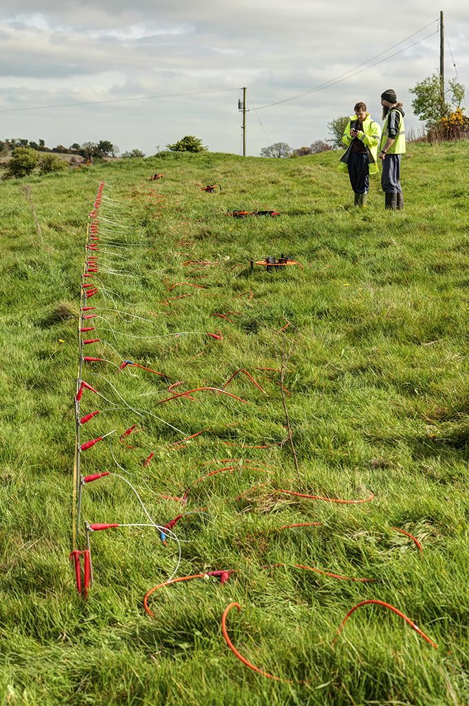
We carried out earth resistance and electromagnetic surveys over as much of the promontory as was physically possible. About one hectare of the surrounding mainland was surveyed using cart based electromagnetic surveys. In addition we ran two electrical resistivity tomography (ERT) lines across the fosse which separates the promontory from the mainland
Potential archaeological remains have been identified throughout the survey area indicating extensive habitation activity potentially over multiple phases of occuppation. A large number of stone features as well as ditches were detected on the promontory itself. Some of these are associated with collapsed walls creating a confusing picture of the underlying archaeology. Different alignment of structures can be identified which suggest overlapping features which predate the upstanding remains.


As you can see in the photos, some of the upstanding masonry remains are in very poor condition and is prone to further collapse and damage during storms. The 3D photogrammetry model of the remaining walls is a valuable record of the monument at this point in time.


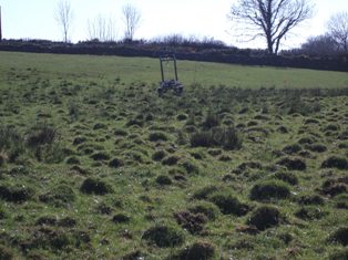
Arney Fort
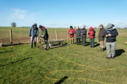
We have been invited by Cuilcagh to Cleenish: a great Place to take part in their community research project at Arney Fort in County Fermanagh. The project was funded by The Heritage Lottery Fund and Fermanagh & Omagh District Council and involved Arney Fort and an adjacent drumlin which is linked to the Battle of the Ford of the Biscuits that took place in the area on 7th August 1594.
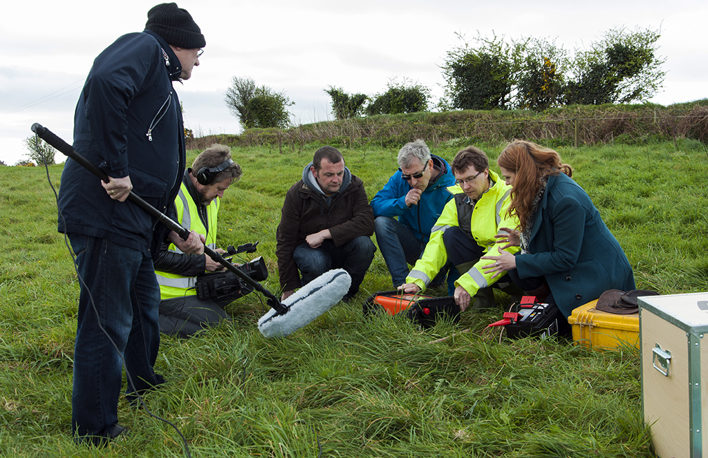
Part of the project was a community excavation involving local volunteers led by a team of archaeologists of Northern Archaeological Consultancy. The excavation took place right after completion of the geophysical surveys and we were able to visit the dig and give a demonstration of the survey instruments to the volunteers at the dig. Local archaeologist Robert Henshall has kindly assisted our team with all of the geophysical surveys at the site.
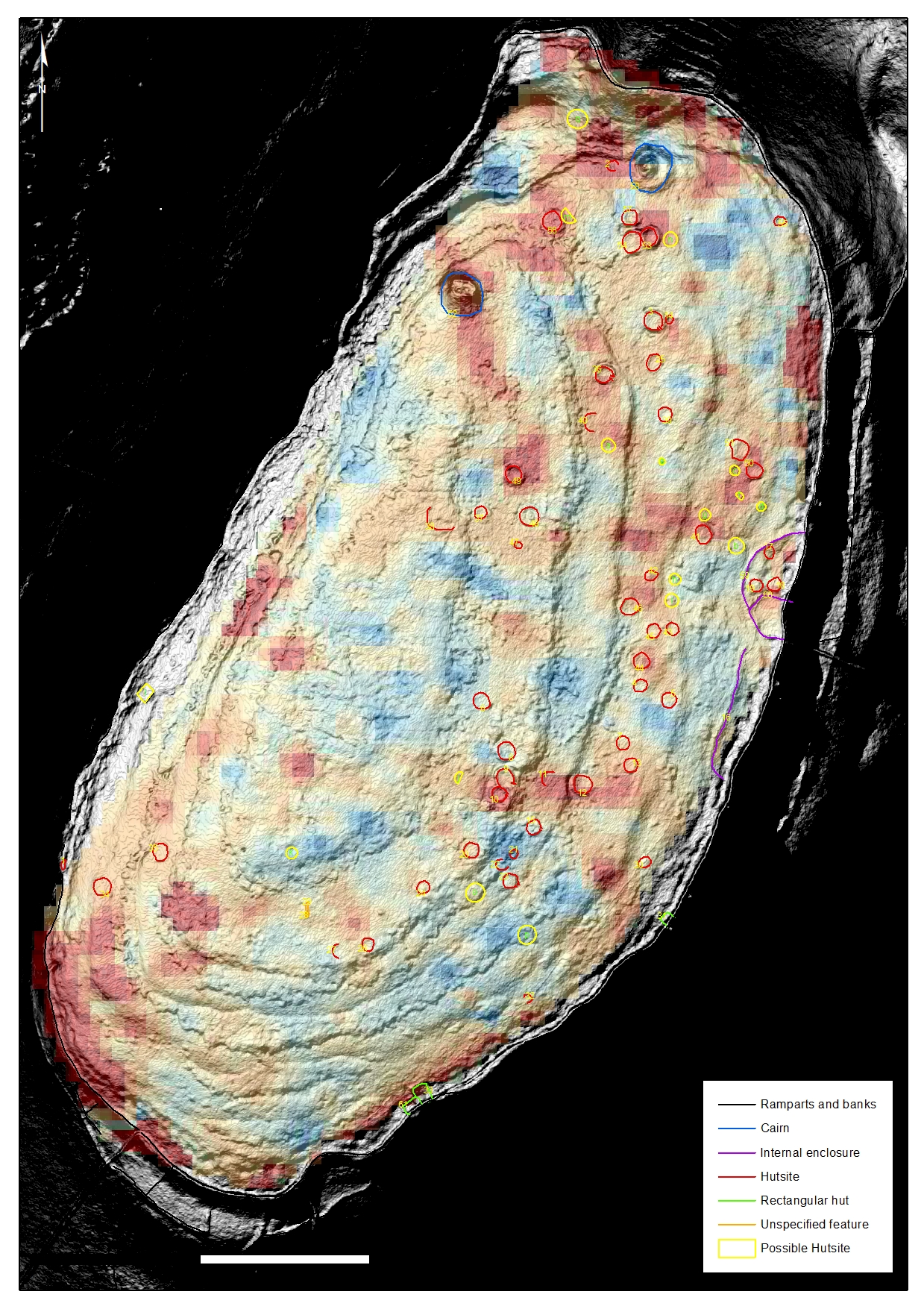
First we carried out a magnetometer survey over a portion of the drumlin which identified multiple isolated ferrous responses, several areas of highly magnetic remains, a number of ditches or cut features and possible pits. The ferrous responses may be related to the battlefield, but need to be further investigated to rule out modern debris relating to farming activities. One sub-rectangular enclosure and central arcing feature may be archaeological in origin.


The fort itself was investigated using earth resistance and handheld electromagnetic surveys. They revealed a number of internal features which may be related to habitation and industrial activities. There are several possible structural remains and pits. Five large low susceptibility anomalies were detected running through the centre of the fort. One of these was later excavated at the community dig run by Northern Archaeological Consultancy and was identified as containing two bowl furnaces.


 showing interior of fort")

Besides evidence for iron working and glass production, the archaeologists found a number of interesting artefacts. For more detailed information about the findings have a look at the excavation and geophysical report which can be found on the Cuilcagh to Cleenish: a great Place website.
Ballyeglish Cemetery
This small disused graveyard is located in the middle of an undulating pasture landscape in Ballyeglish townland, County Derry. While there is no above ground evidence of a church, a dried up holywell – St. Brigid’s Well is located in the NE corner. Most of the headstones are on top of a raised platform dating to the 18th & 19th centuries.
The Loup & District Historical Society has asked us to carry out a small survey to detect potential remains of a church, as the name ‘Ballyeglish’ would strongly hint at the presence of one. There was also the hope of finding the lost burial place of a local saint Trea who may have been buried in this church. A second target for the survey was a narrow channel where there were suggestions it may have been a pre-Christian within the graveyard.

")
Possible structural evidence was detected in the cemetery. There appears to be an area of intense archaeological activity surrounded by an arcing boundary ditch. A number of stone features are likely to represent structural remains interspersed with some areas of disturbed ground and linear ditches.
Graves of the Leinstermen
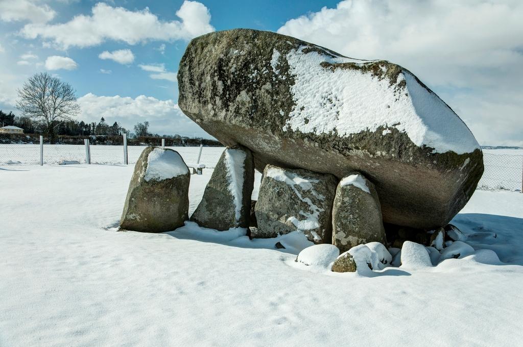
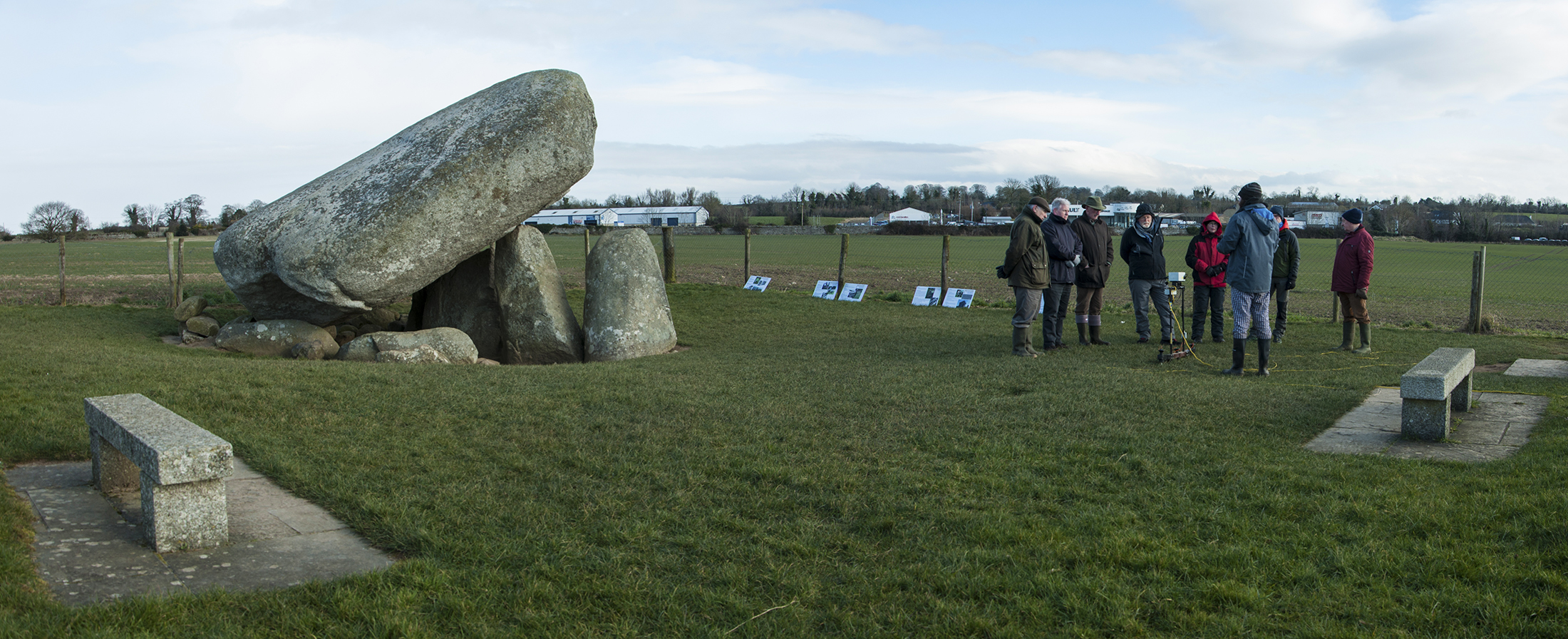
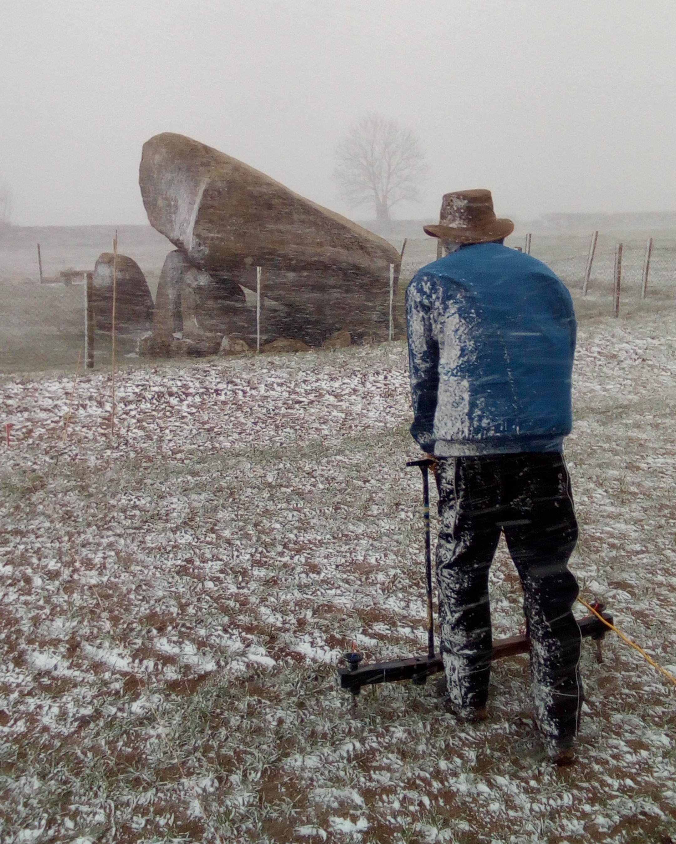
The site known as the ‘Graves of the Leinstermen‘ is a recorded monument listed as an anomalous stone group, located in the Arra Mountains in County Tipperary overlooking Lough Derg. According to legend, the stones are associated with the battle between Brian Boru and Sitric Silkenbeard. The landscape is covered in gorse, ferns and heather largely burying the stones.
Last year, the Arra Historical & Archaeological Society has asked us to carry out a topographical and photogrammetry survey of the landscape containing stones. They have kindly cleared some of the vegetation around the stones to facilitate this survey.


The resulting topographical map and 3D models of the stone group may help in further interpreting the potential archaeological significance of the site. We have identified a total of 46 stones, the majority of which appear to be earthfast boulders barely protruding from the ground surface. Through the accurate mapping of all the stones, a possible oval pattern is visible to the site. There is a small possible passageway incorporating a number of orthostats and prone stones. An arcing pattern of stones and a topographical expression hint at a possible structural element to the site.


To further investigate the nature of the site and identify the presence of any potential sub-surface archaeological remains we will return to the site in the next few months to carry out a number of geophysical surveys. We hope to shed more light on the legends associated with this monument in 2020!
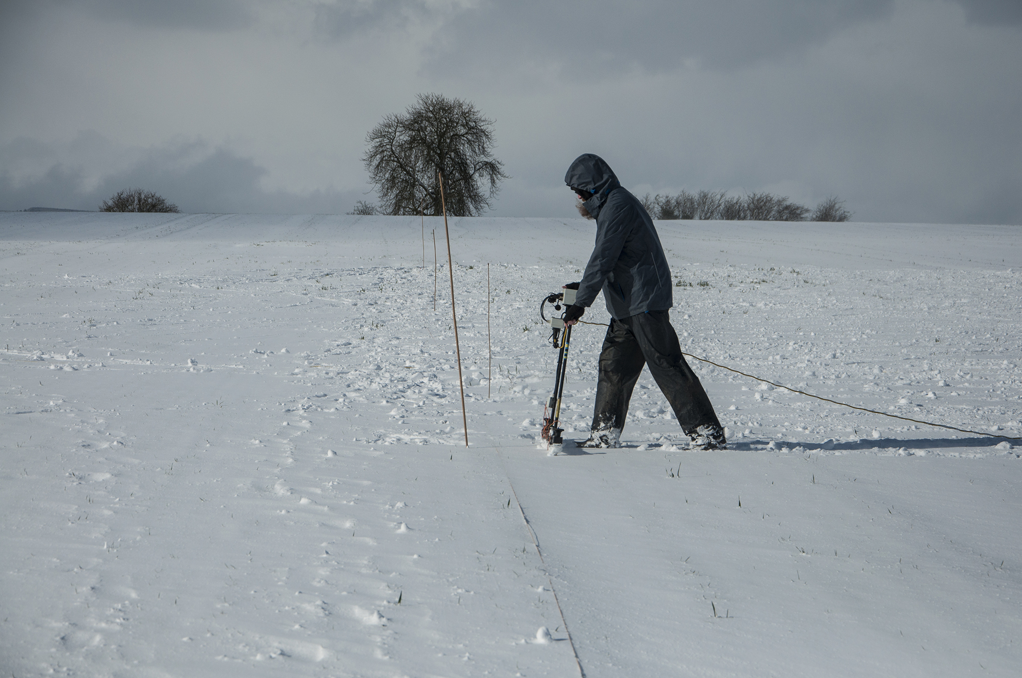

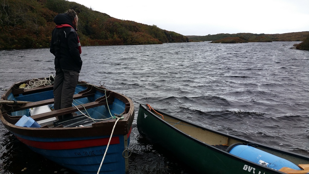
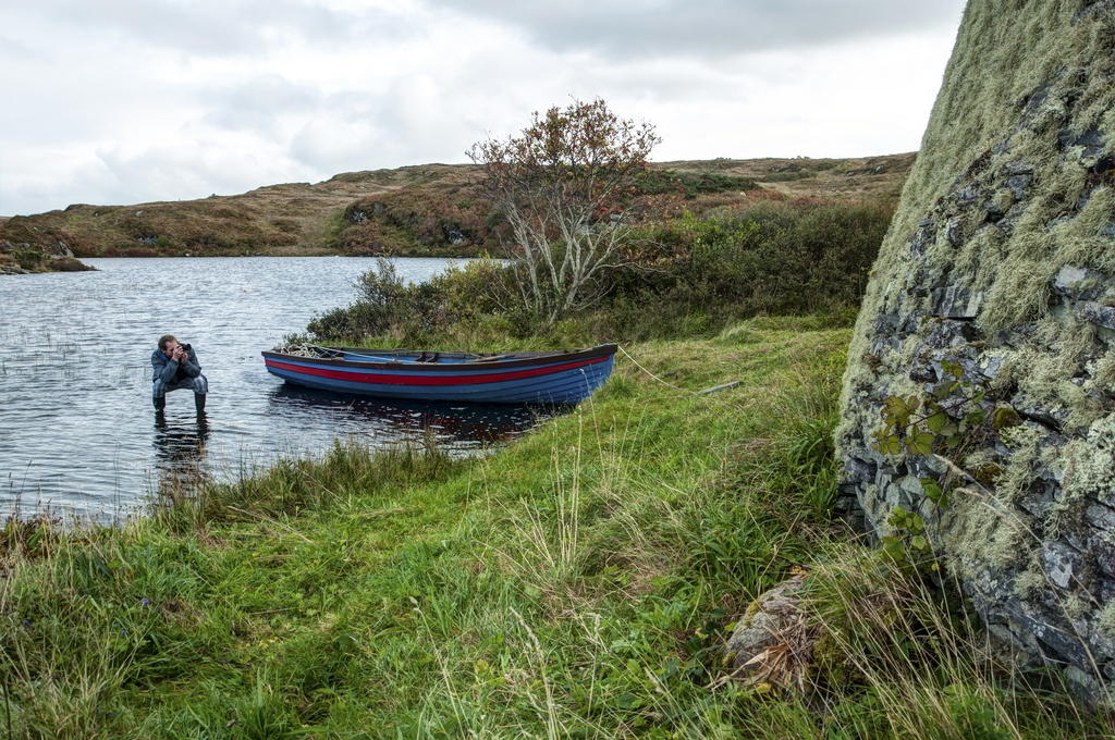
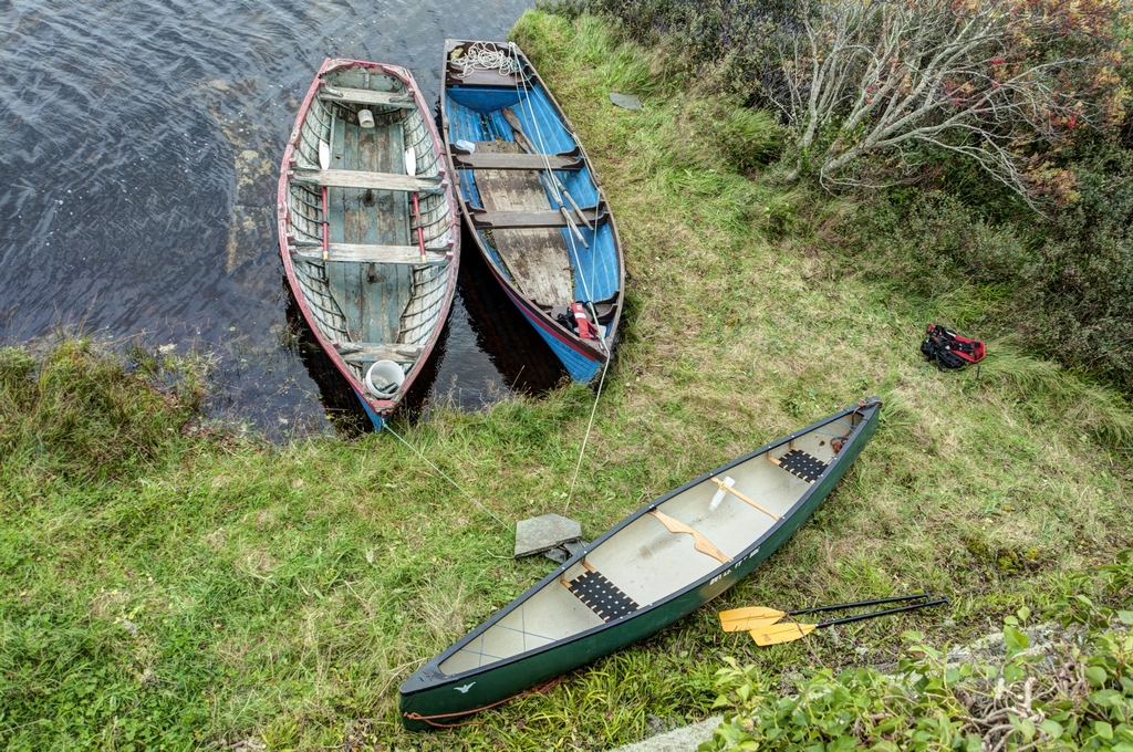
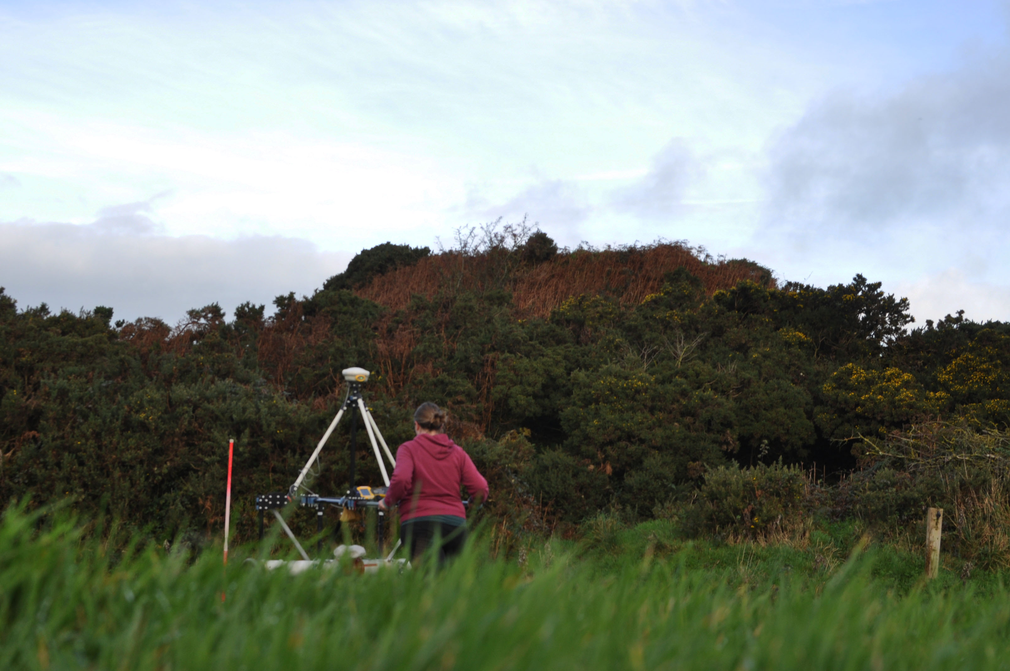
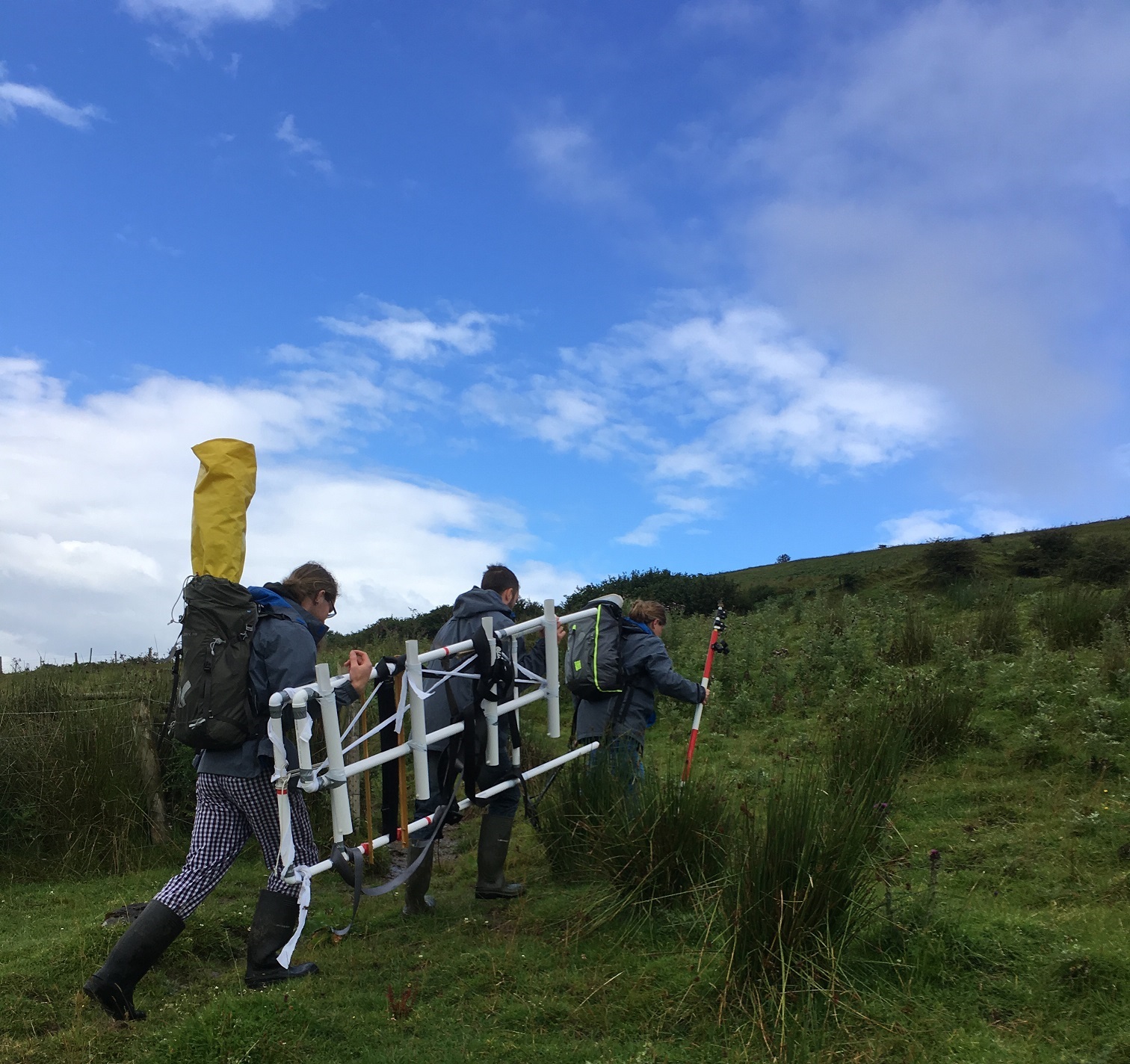
 Example of unsurveyable terrain
")