
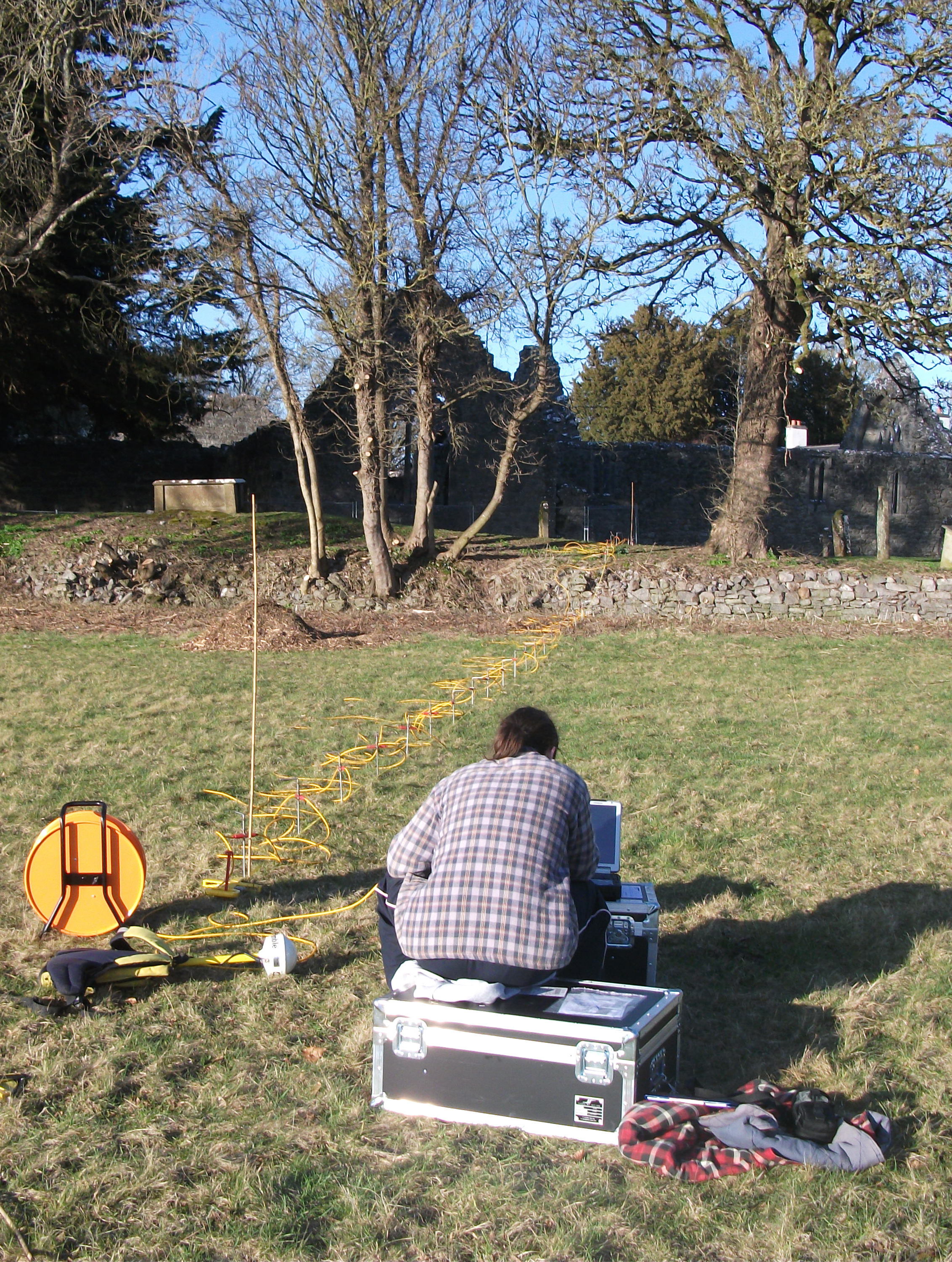
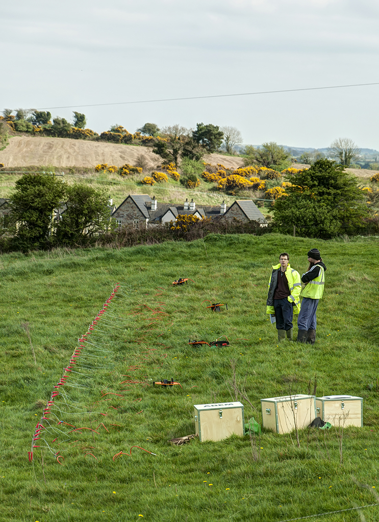
ERT survey being carried out in Portumna, Co. Galway.
Electrical Resistivity Tomography (ERT) sends a small electrical current through a series of probes to produce a cross-section of data to accurately record depth information and assess deeply buried archaeological remains such as souterrains or elements of multiphase sites including surfaces, water courses and buried walls. This technique also enables geophysical investigation across landscapes which are not generally amenable for other types of survey such as woodland, marshland and areas of dense vegetation.


Example of ERT survey data results display from a survey at Rathnadrinna, Co. Tipperary.
© 2002- 2026 Earthsound Geophysics Ltd.