
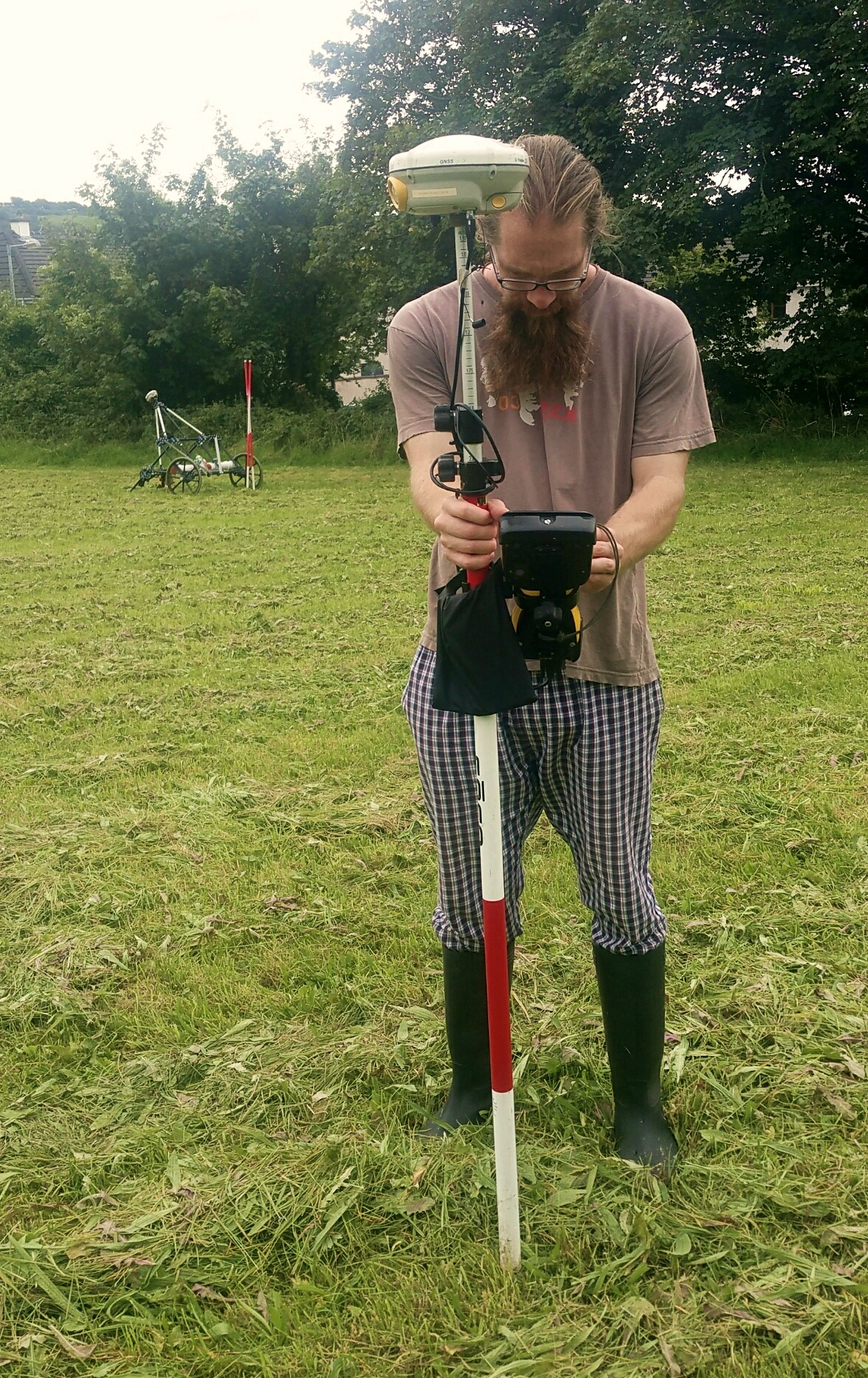
Marking metal detection responses using an RTK-GPS
Earthsound employ RTK-GPS (Real-Time-Kinematic) systems in order to lay out excavation trenches, benchmarks and boundaries and record their exact locations. We can also record, to within a couple of centimetres’ accuracy, the location and morphology of excavated features and monuments.
Our topographical surveys also employ the RTK-GPS system in order to record the topography of an area or feature for further rendering in other software suites. Positional and locational height are recorded at the required resolution to give a high fidelity digital reproduction of the landscape or monument under investigation.
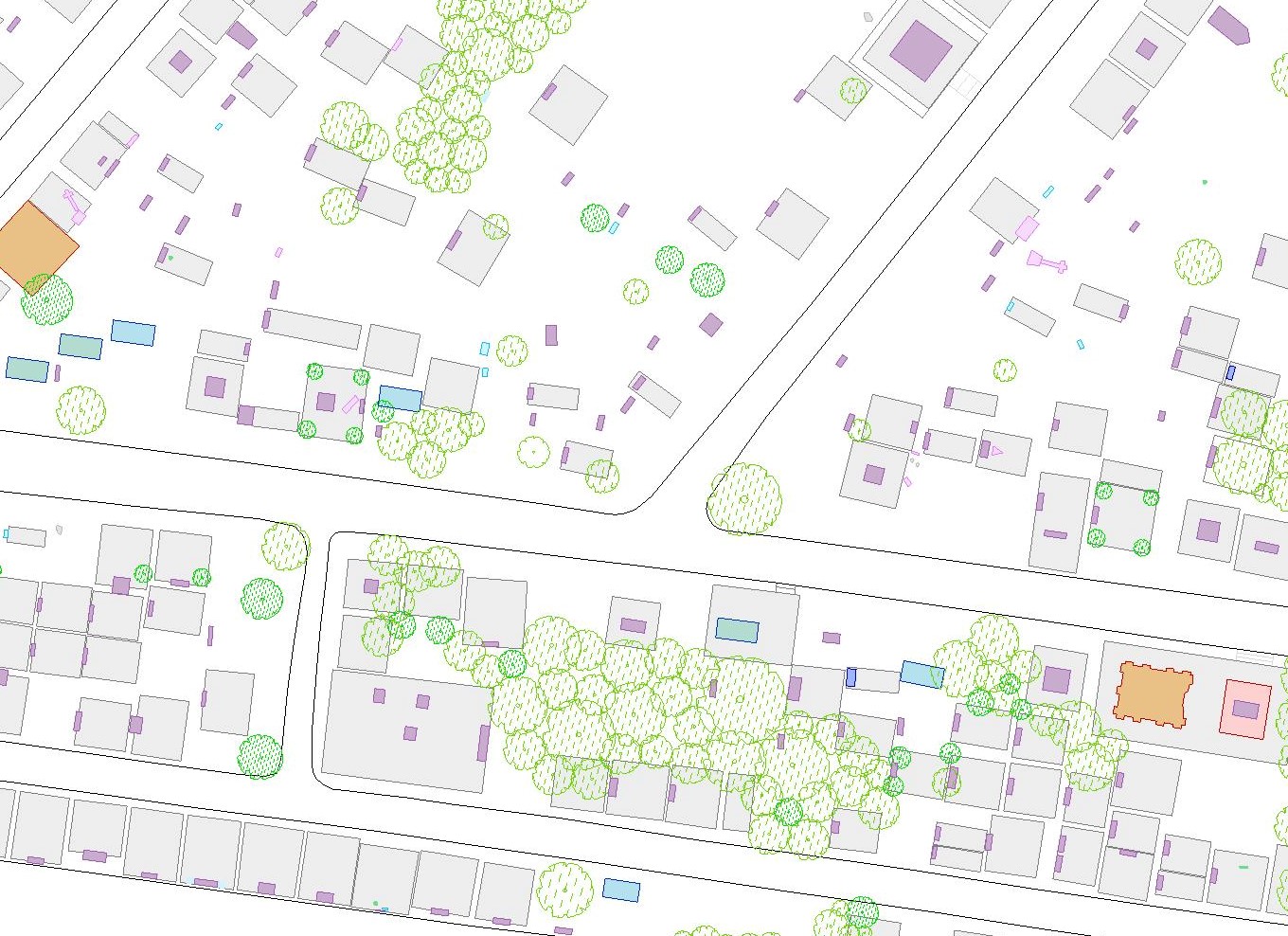
Section of the GPS survey map of Old Sligo Cemetery which was funded by the Heritage Council for Sligo Tidy Towns in 2018
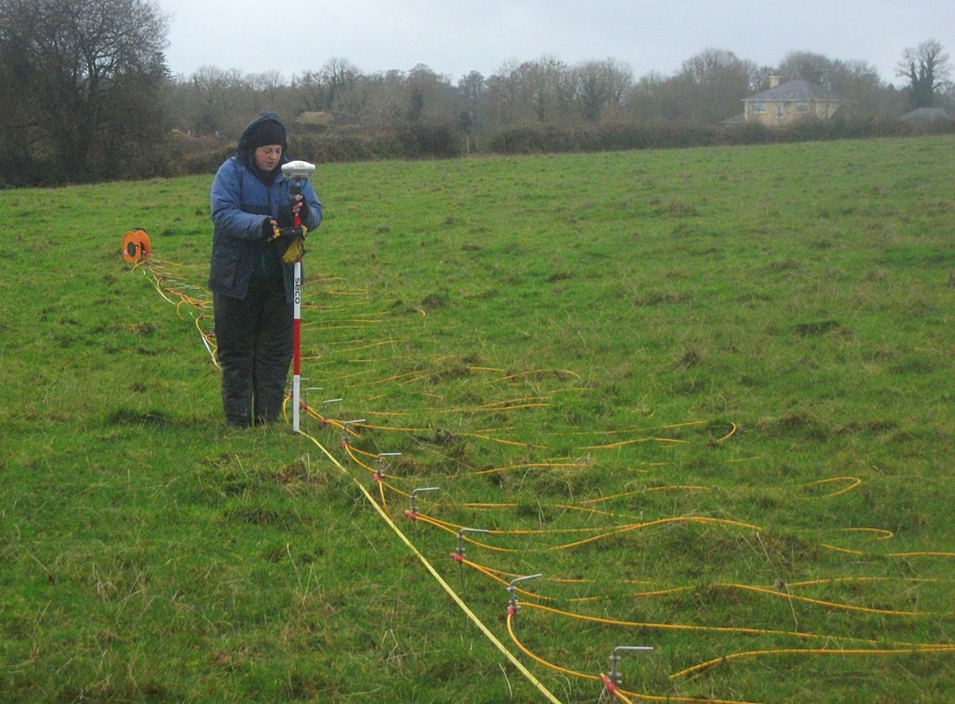
The RTK-GPS being used to record probe locations during an ERT survey
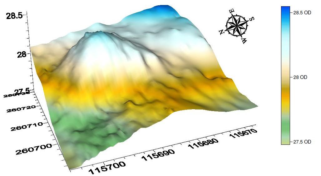
An example of topographical data rendered into a 3D model
© 2002- 2026 Earthsound Geophysics Ltd.