
Earthsound offers a service whereby we will produce a digital rendering of your hand-drawn plans and drawings to the highest accuracy and in the exact locations of your excavation. All of the drawings and plans we produce are rendered in either AutoCAD or QGIS and we can overlay other forms of data, e.g. geophysical data, if requested.
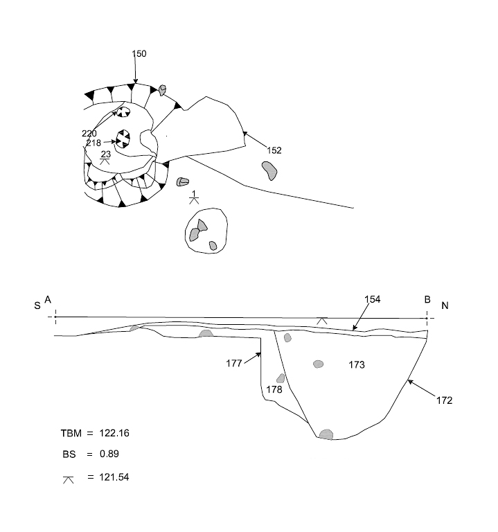
An example of excavation plan and section drawings digitised by Earthsound
© 2002- 2026 Earthsound Geophysics Ltd.