
LiDAR: Light Detection And Ranging (LiDAR) works by sending pulses of laser light at a given target or feature in order to measure its distance. The LiDAR sensor is usually mounted on an aircraft and collects a vast swathe of topographic data or a given landscape.
Earthsound do not undertake LiDAR data collection but we process outsourced LiDAR data to produce extremely accurate topographic maps which highlight all subtle topographical expressions within the landscape. LiDAR enables the identification and visualisation of unknown archaeological monuments and features, even in the cases where they are not so obvious at ground level or covered in vegetation. The mapping can be combined with basemapping or other data such as geophysical survey results.
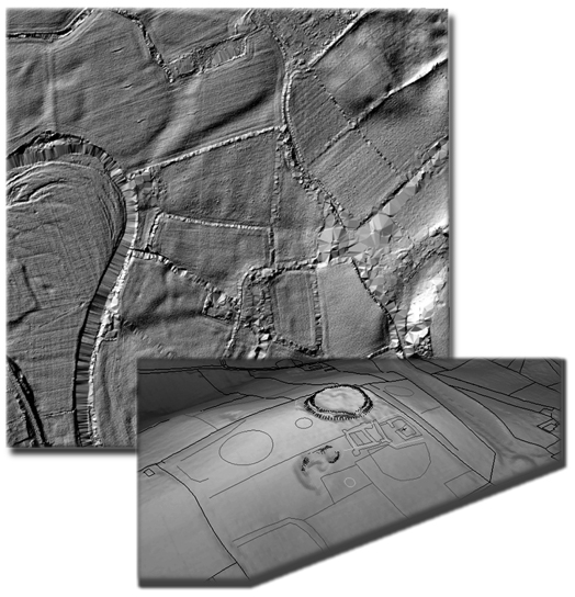
Examples of various types of LiDAR data rendering
© 2002- 2026 Earthsound Geophysics Ltd.