Earthsound attend the 11th International Conference on Archaeological Prospection

Earthsound directors Dr. James Bonsall and Heather Gimson flew over to the University of Warsaw this week to participate in the 11th International Conference on Archaeological Prospection.

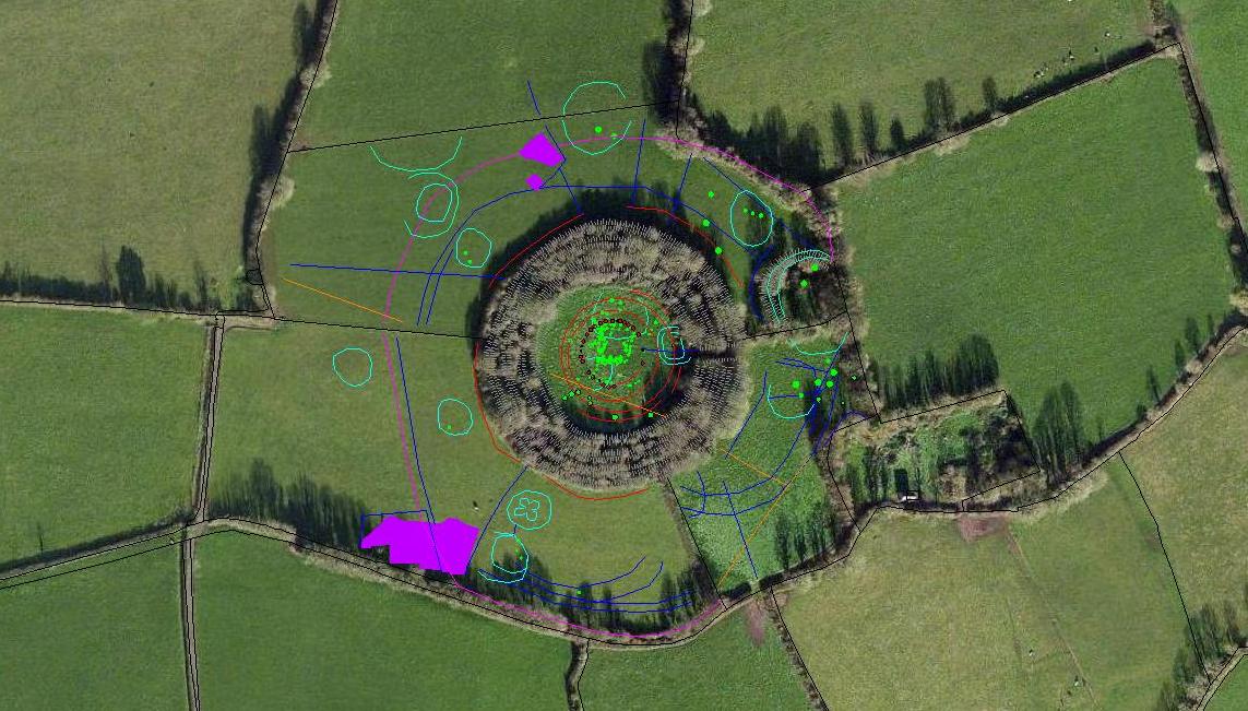
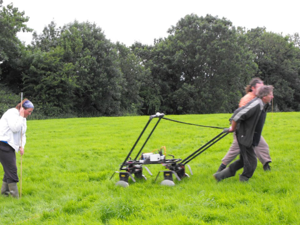
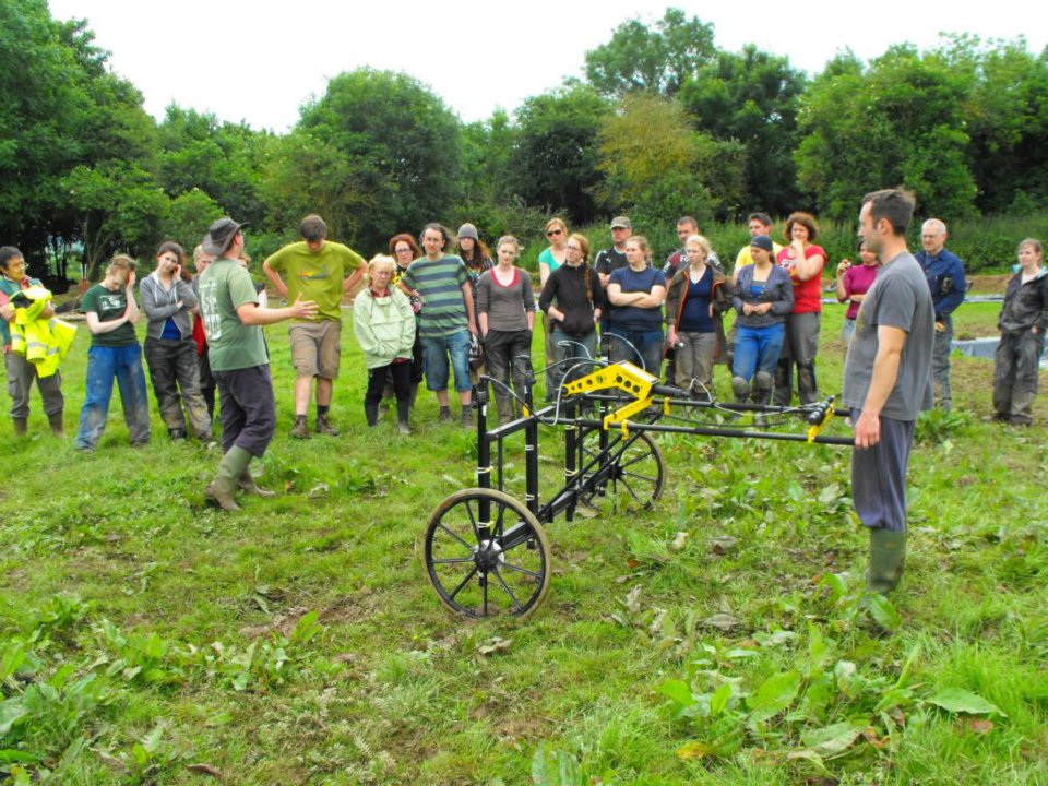
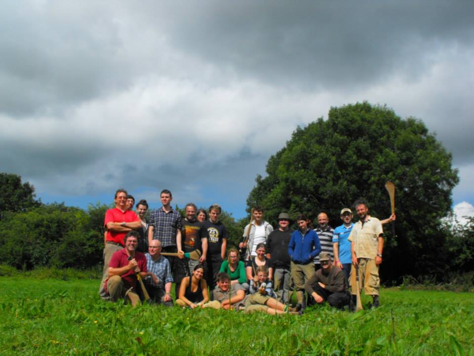
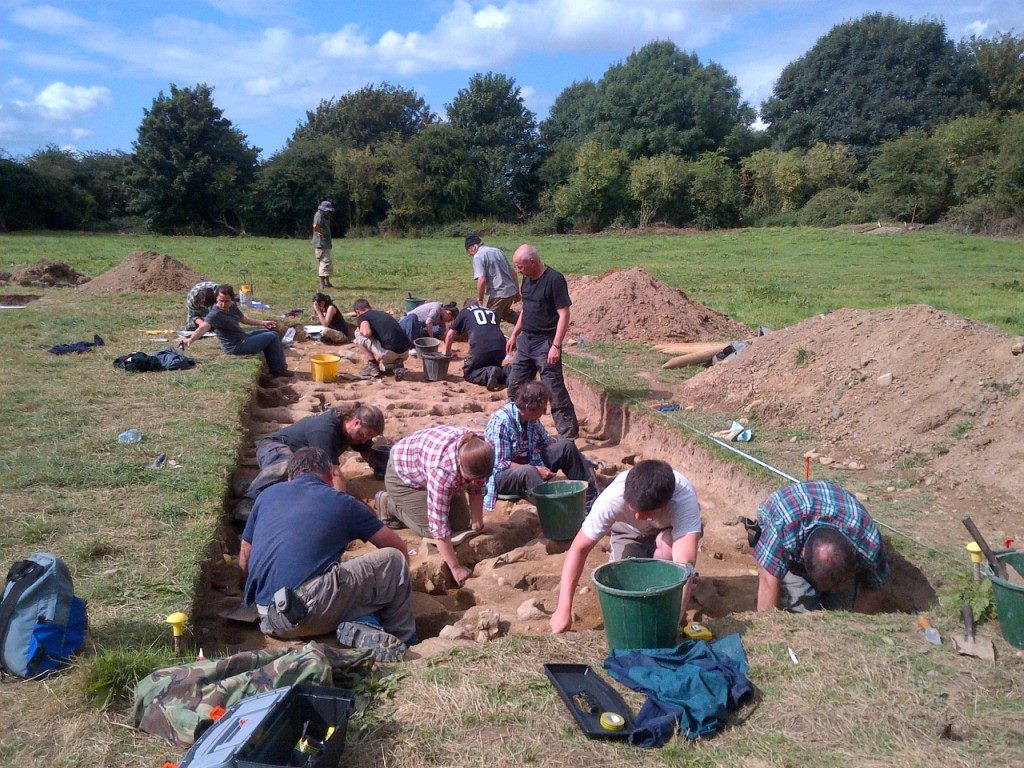
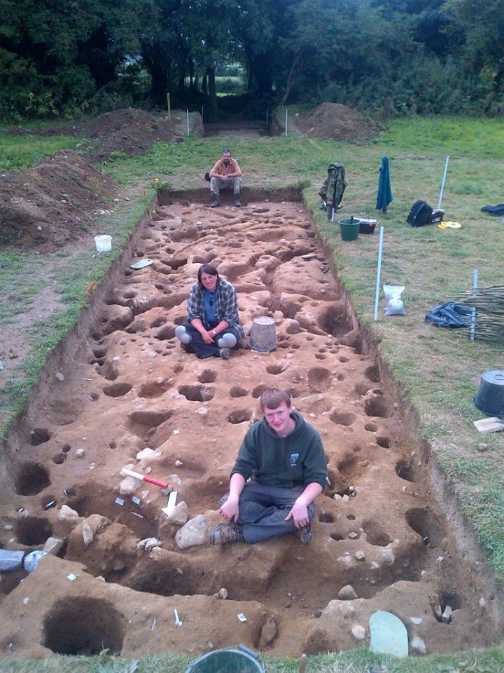
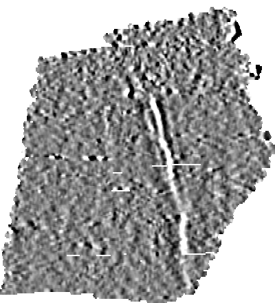
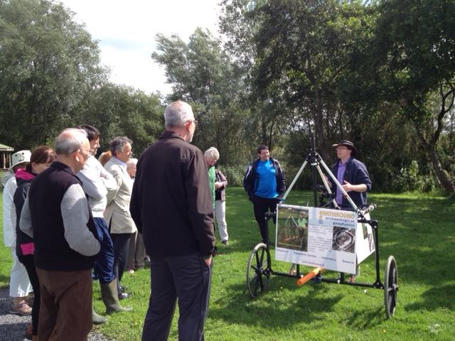
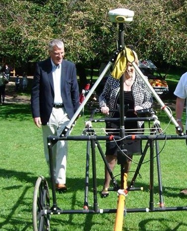
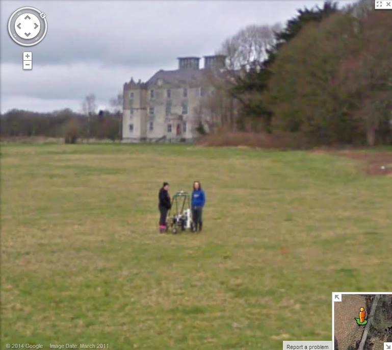
James presented a paper based on his PhD research, You know it’s summer in Ireland when the rain gets warmer: Analysing repetitive time-lapse earth resistance data to determine ‘optimal’ survey climate conditions. Earthsound were the Industrial Partner in the research which was carried out by James and the University of Bradford. Earthsound provided equipment and logistical support for the investigation while Earthsound surveyor Darren Regan assisted James every month for the 14 month long time-lapse earth resistance survey carried out at Tuam, Co. Galway. The investigation examined the impact of weather on the outcomes of earth resistance surveys on behalf of the archaeology section of the National Roads Authority. The paper was live tweeted – here are some of the highlights:

James was also a co-author (with Chrys Harris et al.) on High Royds: An integrated, analytical approach for mapping the unmarked burials of a pauper cemetery, a paper that examined the differing properties of graves that were mapped (and/or unmapped) via magnetometry, multiple earth resistance arrays, electromagnetic induction and ground penetrating radar.

Both papers are now published in Archaeologia Polona Vol. 53, a special edition of the journal containing the conference proceedings.

James was tweeting (as @DrJamesBonsall) throughout the Conference, which you can follow via #ISAP2015 or read tweets from the whole event via a Storify Archive by Dr. Kayt Armstrong.

Surveying the Neolithic Shell Middens of the Shelly Valley

Come and see the archaeological excavation and survey in the Shelly Valley tomorrow. Meet the archaeologists from IT Sligo, University of Georgia and Earthsound Archaeological Geophysics who are investigating the prehistoric midden complex. We’ll be at the base of the Big Dune, Strandhill at 4pm!

Earthsound are part of a team of international archaeologists carrying out a cutting edge geoarchaeological survey to unlock the secrets of prehistoric sites at Strandhill. Katharine Napora from The University of Georgia in the U.S. and Dr. James Bonsall, director of Earthsound and a lecturer in Applied Archaeology at IT Sligo, are examining prehistoric midden sites in the Shelly Valley, in a project funded by National Geographic.

Middens – mounds of shells, bone and charcoal – are ancient refuse heaps built from the remains of discarded food waste. The Shelly Valley – named after the middens – is home to a large number of these sites which are believed to date to the Neolithic and are visible at the base of the dune.  “Many people visit Strandhill and the Shelly Valley to see the large dunes, but most don’t realise that they are actually walking across a prehistoric landscape” says Dr. Bonsall.

Katharine Napora’s research will compare the Sligo middens with similar sites on the east coast of America. Dr. Bonsall, his IT Sligo students and Earthsound are using the latest geophysical and high resolution mapping methods to ‘see beneath the sands’ to map the extent of the middens. Katharine Napora will be using a combination of analytical geoarchaeological techniques on the middens to unlock their secrets. “We’re hoping to find out how old the different middens are, if they were constructed at the same time, how long they were used for and what types of food our ancestors were eating” says Katharine.

Katharine would like to invite any interested people to come out this Sunday, June 7th, at 4 pm to the Shelly Valley (the Big Dune) at Strandhill Beach to learn about how the latest technologies are being integrated into modern archaeological research. Visitors can see a National Geographic-sponsored project in action as we investigate through geoarchaeology how past inhabitants of Strandhill interacted with the ocean and its resources.


Rathnadrinna Research Project

Combined geophysical survey results overlaid onto aerial photograph of Rathnadrinna, Cashel, Co. Tipperary


Project: Rathnadrinna Research Project, Cashel, Co. Tipperary.

Year: 2009-2014

Client: Richard O’Brien, funded by the Heritage Council and the Royal Irish Academy.

View of three banks and ditches overgrown by trees at Rathnadrinna.

Aim: 

Rathnadrinna Fort is a multivallate hilltop enclosure in the townland of Lalor’s-Lot outside Cashel, Co. Tipperary. It is one of the most impressive of several hilltop enclosures surrounding Cashel. In 2009, a project lead by Richard O’Brien began to carry out extensive investigations of the fort in order to gain further understanding of the history of the site. These included documentary research, aerial photographs, geophysical surveys and LiDAR. Earthsound were involved in the geophysical and LiDAR investigations of the enclosure and surrounding lands. The results of this research led up to a series of  archaeological excavations lasting three seasons from 2012-2014.


Heather, Tom and Mick using the Jalopy to collect earth resistance data inside the enclosure

Community Engagement: 

The Rathnadrinna Research project engaged members of the public throughout many of it’s stages. Locals and volunteers from all across the country and abroad were invited to join in the excavation team and be part of the project. Earthsound carried out a number of demonstrations of various geophysical techniques on site and some of the digging crew and visitors were able to get some hands on experience in operating the equipment.

Darren demonstrating the magnetometer cart

Loughmore National School children learning about metal detection

Geophysics: In 2009 we carried out high resolution magnetic susceptibility, magnetometry, earth resistance and ground penetrating radar surveys within Rathnadrinna Fort and in a surrounding field. The magnetic susceptibility and magnetometry data suggest an absence of occupation and industry inside Rathnadrinna, which could suggest by default a ceremonial or ritual role for the fort. Evidence for a (presumably prehistoric) field system which pre-dates the construction of Rathnadrinna was also found. Parts of the field system may be fossilised in the extant field boundaries of today and also hint towards a larger outer enclosure, also partly preserved in the modern field boundaries. The earth resistance survey identified 3 further circular enclosing ditches within Rathnadrinna fort and 1 possible ditch beyond the fort in Field 1, as well as a pit-circle at the centre of the fort. These suggest that Rathnadrinna may have been comprised of 6 concentric ditches (3 of which are extant), and a possible 7th ditch on the exterior. Combining this data with a potential larger outer enclosure comprised of extant outer field boundaries surrounding Rathnadrinna, suggests that possibly up to 8 circular enclosing features may have been identified.

3D display of combined geophysics interpretation on top of LIDAR image

In 2010 further geophysical surveys were carried out including high resolution magnetic susceptibility, magnetometry and earth resistance and electrical resistivity tomography surveys. A number of linear and curvilinear ditches and possible ditches or gullies have been detected across the survey area. Many of these appear to be associated with relict field boundaries. 19th century activity was also identified in the form of two possible structural remains which match features on the 1st edition OS map. The hilltop of Rathnadrinna is surrounded by an enclosure ditch measuring 250m in diameter. This single ditch enclosed the top of the hillside and has influenced the arcing nature of some of the modern field boundaries. A large number of circular ring-ditches and arcing ditches have also been detected outside the known fort. These appear to fall into two distinct types based on their size and morphology. Small ring-ditches measuring 15m-19m in diameter may represent foundation slot-trenches or drip gullies surrounding (unrecorded) wooden structures. Larger circular features measuring 40m in diameter, similar to the upstanding remains of the known satellite fort beside Rathnadrinna. These anomalies may therefore represent possible ploughed-out ringforts. The magnetic susceptibility data suggests an absence of burning activity – like inside the fort – perhaps discounting a settlement role for the ring-ditches and ringforts indicating that they might be burial or ritual monuments.

Electrical Resistivity Tomography (ERT) line running S-N across the monument including all banks and ditches.


Excavation:

Three seasons of excavations, beginning in June 2012 and the final season concluding in August of 2014, were directed by Richard O’Brien. Earthsound’s Heather Gimson was part of the digging crew as archaeological supervisor throughout all of the excavations. Additional Geophysical data was collected and demonstrations of the survey techniques were carried out by our staff on several occasions during the excavation seasons.

Heather and Meaghan planning stones in Ditch B, Season One 2012

Some of the crew, Season Two 2013


Cutting 1C at its busiest, Season Three 2014

Liam, Heather and Mick after finishing cutting 1C, Season Three 2014


Milestone – Earthsound survey all 26 Counties!

Following the completion of last weeks survey on the Black Pigs Dyke, Co. Monaghan, Earthsound have now reached a milestone: we’ve carried out a geophysical survey in every county in Ireland – it has taken 12 years but we got there! Our survey in Co. Monaghan (statistically the county with the least amount of planning applications and research projects) was the last one we needed for our collection!

If anyone wants some surveys done in Co. Tyrone in Northern Ireland, let us know – then we’ll have the full set of 32, north and south. After that, we’ll go for every offshore island – not that many are there?

© 2014 Earthsound Geophysics Ltd.

Black Pig’s Dyke, Co. Monaghan

Project: Black Pig’s Dyke Research Project, Co. Monaghan.

Location: Corrinary, Co. Monaghan.

Year: 2014

Client: Kilkenny Archaeology

Funding: Monaghan County Council

Electromagnetic Data showing the ‘Black Pig’s Dyke’

Aim: The Black Pig’s Dyke constitutes a series of earthwork fortifications located along the border of Northeast Connacht, Southwest Ulster and a small portion of Northwest Leinster throughout the counties of Cavan, Fermanagh, Leitrim, Longford, Monaghan and Roscommon with some possible links to earthworks in Counties Armagh, Donegal and Down. The earthworks comprise a series of banks and ditches with the banks being on average 9 metres wide and the ditches being on average 6 metres in depth, and having at one point contained a substantial palisade structure.The earthworks are considered to have an Iron Age provenance and were theorised by antiquarians to comprise an ancient boundary wall demarking the area of Ulster from the south, in particular as a defence against cattle raids.

Earthsound were commissioned by Kilkenny Archaeology as part of their involvement in the larger Black Pig’s Dyke Research Project, to investigate a portion of the Dyke located within the townland of Corrinary in County Monaghan, near the Cavan border. An Electromagnetic survey was executed across the site and two ditches (a substantial one to the north and a smaller one to the south) were discovered along with evidence for a possible burnt palisade.

Outcome: The geophysical surveys undertaken for this project have successfully identified the exact location and composition of the Black Pig’s Dyke within the survey area. Confirmation has been gained for the presence of two ditches, one on the internal (southern) edge of the dyke and a more extensive one on the external (northern) edge. Additional features included a possible palisade and ditch.

Heritage Week 2014 – Part 1 – Carry out your own Geophysical Survey!

Mayfield Lake, Wetlands and its Archaeological Heritage.

Earthsound director Dr James Bonsall gave a talk and guided walk on the archaeological heritage of Mayfield Lake and Clare Lake, Claremorris, as part of Heritage Week, in the Mayfield Community Building, in Claremorris on the 28th August.

The local audience joined in and told great stories of old place names and memories of fishing in Mayfield Lake. After the talk, James led the audience out to McMahon Park to let them carry out their own archaeological survey.

10599191_742071749191832_2255925996651866511_n

© 2014 Earthsound Geophysics Ltd.

Heritage Week 2014 – Part 2 – Meeting the Minister at Archaeofest

Earthsound’s Dr. James Bonsall attended the Institute of Archaeologists of Ireland Archaeofest event in Merrion Square, Dublin for the official launch of Heritage Week.

James encouraged visitors to carry out a geophysical survey in the park whilst explaining how instruments are used to detect buried archaeological features.

Among those that collected data were Minister for Arts, Heritage and the Gaeltacht, Heather Humphreys TD, who was very interested in the use of geophysical data on Irish infrastructure projects.

© 2014 Earthsound Geophysics Ltd.

We’re snapped by Google Streetview!

Well they had to catch up with us sometime: Earthsound have been immortalised on Google Street View during our research at Portumna Castle, Co. Galway. The survey was carried out in March 2011 and the Street View images are now available which show Heather and Darren with the MSP40 (Jalopy) Mobile Sensor Platform – you can almost see the expression on their faces. To see the image for yourself, have a look at http://goo.gl/maps/6fz0b. 1558500_10152396214585159_542142536044512053_n

© 2014 Earthsound Geophysics Ltd.

Commercial Archaeological Geophysics Seminar, University of Bradford

Earthsound director James Bonsall attended the first Commercial Archaeological Geophysics Seminar (#CAGS2014), at the University of Bradford, UK this week. Earthsound were the only Irish representatives at the event which brought together commercial practitioners, consultants, government stakeholders, curators and archaeologists to discuss the development of commercial geophysical surveys.

James presented the Irish perspective on commercial geophysical surveys (watch the video below) in his paper Tales from Across the Water: Analysing the Irish Experience of Geophysical Surveys, which discusses the limitations of magnetic scanning compared to detailed surveys. The paper was co-authored with Dr. Chris Gaffney and Prof. Ian Armit (University of Bradford) and Rónán Swan, NRA Head of Archaeology.

© 2014 Earthsound Geophysics Ltd.

Great Connell Abbey, Newbridge, Co. Kildare

Project: Great Connell Abbey Research Project

Location: Great Connell, Newbridge, Co. Kildare

Year: 2012-2014

Client: Thomas A. Loughlin

Funding: County Kildare Archaeological Society and the Kildare County Council Community Heritage Grant Scheme.

Aim: Great Connell Abbey is a site of ongoing interest and has been extensively investigated and researched by Dr. Thomas A. Loughlin of the Irish Hellenic Institute, Athens, Greece and funded by the Kildare County Council Community Heritage Grant and Kildare Archaeological Society Research Grant. The abbey was founded in 1202 as a Priory of the Cannons Regular of St. Augustine, a cell of the Llanthony Prima in Wales. It was founded by Myler Fitzheny, Viceroy of Ireland, who was also responsible for the foundation of the abbeys at Laois, Clonfert in County Galway and Killaloe in County Clare. The site had a period of active usage of approximately 350 years and had a somewhat turbulent history having been ordered to forbid the admittance of Irishmen by King Richard II in 1380  and being destroyed by the native Irish approximately seventy years later and eventually being suppressed in 1540. The site gradually fell into disuse, with a Church of Ireland church being constructed to the north of the site in the year 1780.

Earthsound originally carried out a Magnetometry survey at the site in 2006 which revealed a large amount of the village and structures associated with the priory. In the two seasons of geophysics which built on this as part of Thomas A. Loughlin’s research project, the aim was to focus on locating unknown archaeological remains through the use of LiDAR as well as to investigate possible structures associated with the priory.

The aim was to locate archaeology associated with the priory lands including mill races and structures associated with the priory itself. This centred around the use of LiDAR, Magnetometry, Earth Resistance and Electromagnetic Induction surveys.

Outcomes: The 2012 season located a large enclosure with approximate dimensions of 300 m x 360 m which may represent the enclosing boundary of the entire settlement as well as a number of possible walls and boundaries, pits, structural remains and possible burial pits. A large number of internal ditches and features were also located.

The 2013 season managed to detect a large number of cut archaeological features as well as to identify a number of possible structural remains which may have been associated with an only recently identified mill course.