
Electromagnetic Induction (EMI) surveys simultaneously collect two different types of data at multiple depth levels. An electromagnetic signal transmitted into the ground returns two signals that are useful for archaeological prospection. In-Phase data is proportional to Apparent Magnetic Susceptibility and Quadrature data measures Apparent Electrical Resistivity or Conductivity. The use of EMI acquired with a cart-mounted RTK GPS facilitates the rapid detection of a wide variety of archaeological features. The instrument can also be used hand-held to facilitate smaller or spatially-restricted survey areas.
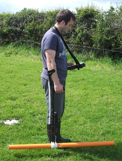
The EMI probe being used in the hand-held configuration
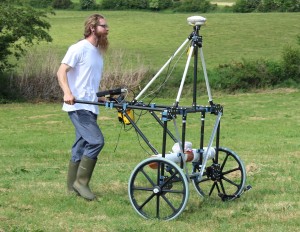
The cart-mounted EMI configuration
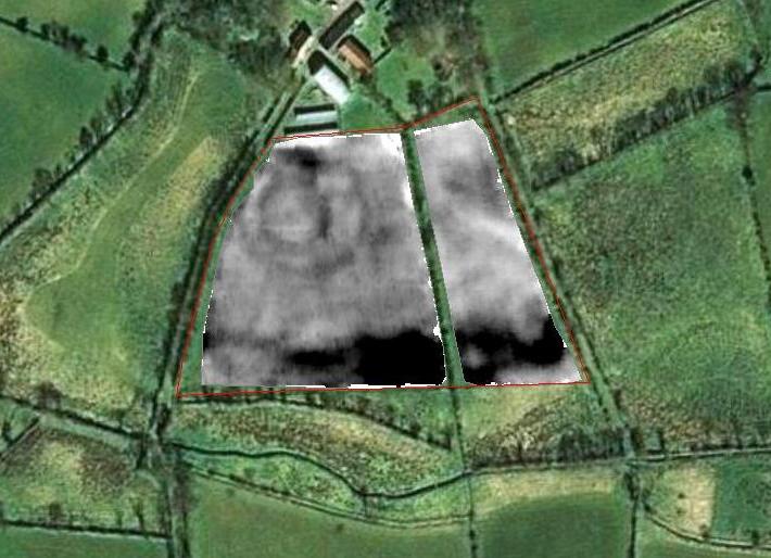
An example of an electromagnetic resistivity survey showing the processed data image overlaid on aerial photograph.
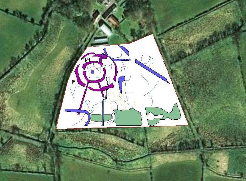
Electromagnetic resistivity data interpretation image showing a hilltop enclosure and a number of possible archaeological features.
© 2002- 2024 Earthsound Geophysics Ltd.